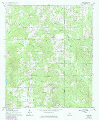
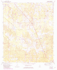
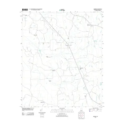
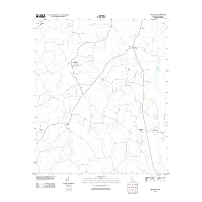
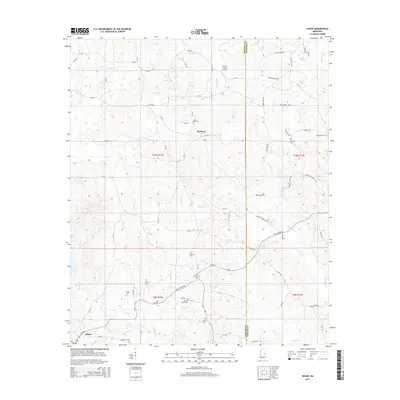
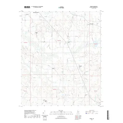
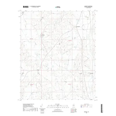
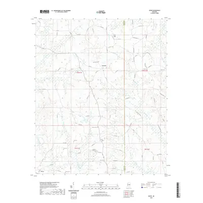
1962 Map of House
USGS Topo · Published 1985About this map
Neshoba and Kemper counties meet along the wooded ridges and creek bottoms of this 1960s landscape, which was updated with aerial data in the 1980s. The area is defined by a dense network of country roads connecting small settlements like House and DeWeese with numerous community landmarks. For those tracing local roots, the map provides precise locations for the East Neshoba Sch and a high concentration of rural congregations, including McClain Chapel, Mars Hill Ch, and Mt Carmel Ch.
Find a feature on this map
36 named features on this map. Tap any name to fly to it.
Don’t see what you’re looking for? This feature index may not catch every label — zoom into the map to look around manually.
Map Details
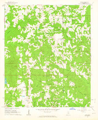
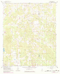
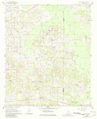
Editions of this 1962 House Map
3 editions found
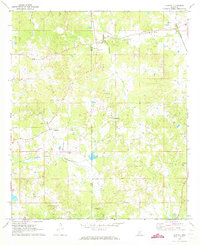
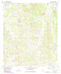
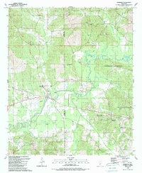
Historical Maps of DeWeese Through Time
36 maps found
1962 House
Neshoba County, MS
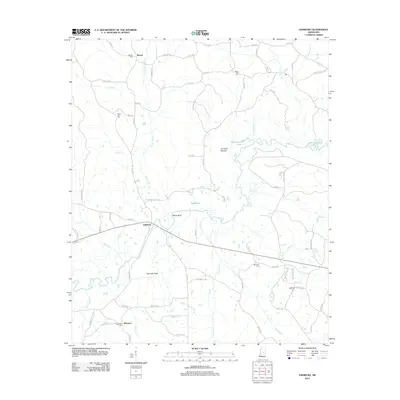
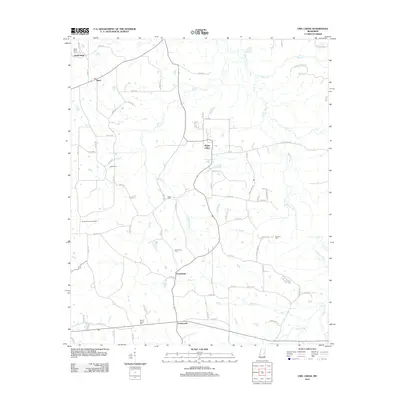
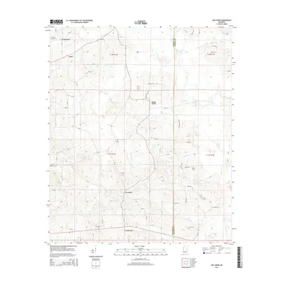
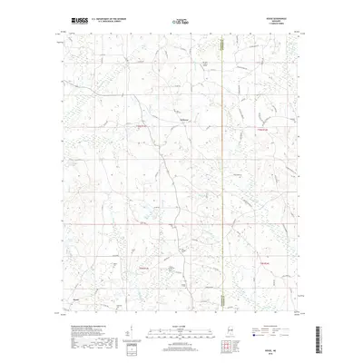
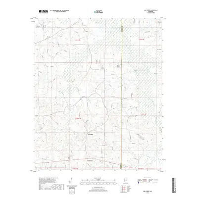
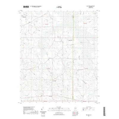
1962 Owl Creek
Neshoba County, MS
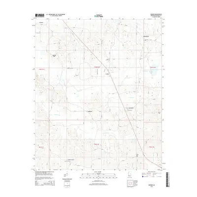
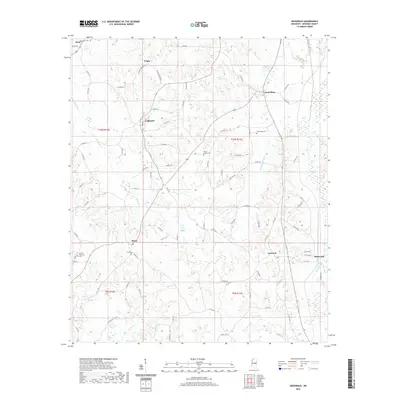
1972 Deemer
Neshoba County, MS
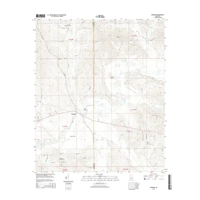
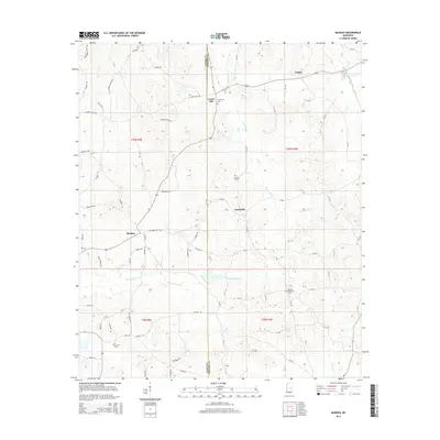
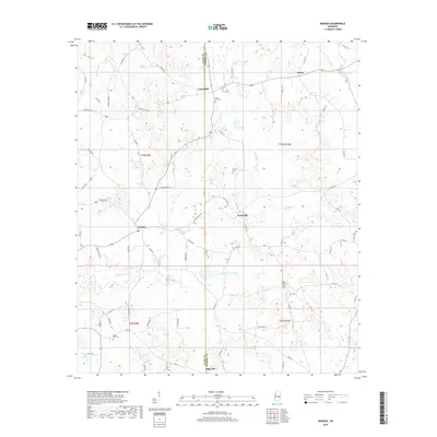
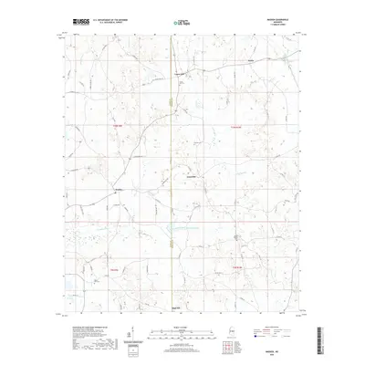
1972 Madden
Neshoba County, MS
1972 McDonald
Neshoba County, MS
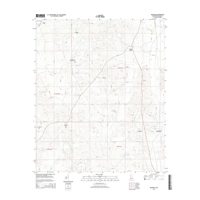
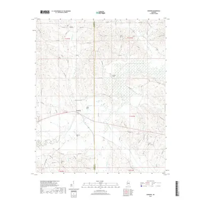
1989 Edinburg
Neshoba County, MS
2012 Deemer
Neshoba County, MS
2012 Edinburg
Neshoba County, MS
2012 House
Neshoba County, MS
2012 Madden
Neshoba County, MS
2012 McDonald
Neshoba County, MS
2012 Owl Creek
Neshoba County, MS
2015 Deemer
Neshoba County, MS
2015 Edinburg
Neshoba County, MS
2015 House
Neshoba County, MS
2015 Madden
Neshoba County, MS
2015 McDonald
Neshoba County, MS
2015 Owl Creek
Neshoba County, MS
2018 Deemer
Neshoba County, MS
2018 Edinburg
Neshoba County, MS
2018 House
Neshoba County, MS
2018 Madden
Neshoba County, MS
2018 McDonald
Neshoba County, MS
2018 Owl Creek
Neshoba County, MS
2020 Deemer
Neshoba County, MS
2020 Edinburg
Neshoba County, MS
2020 House
Neshoba County, MS
2020 Madden
Neshoba County, MS
2020 McDonald
Neshoba County, MS
2020 Owl Creek
Neshoba County, MS
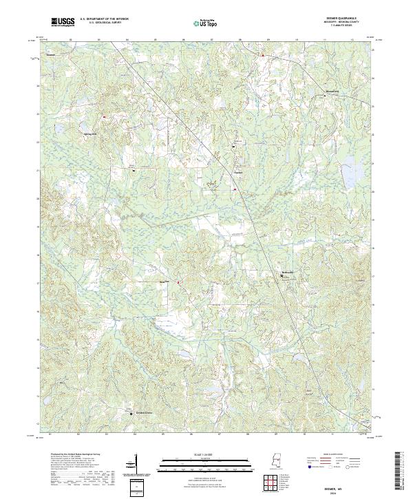
2024 Deemer
Neshoba County, MS
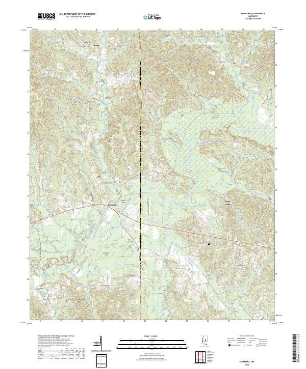
2024 Edinburg
Neshoba County, MS
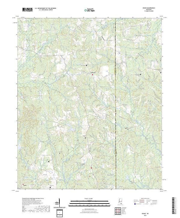
2024 House
Neshoba County, MS
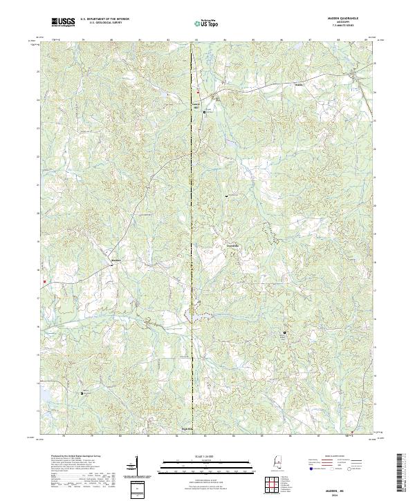
2024 Madden
Neshoba County, MS
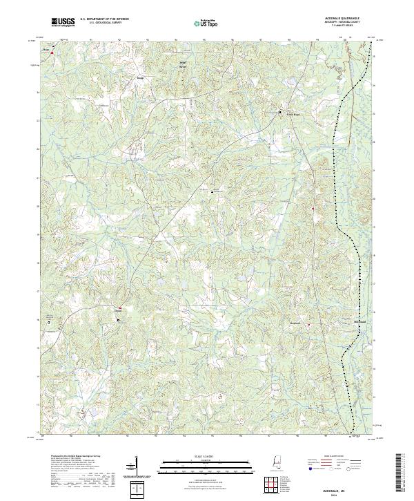
2024 McDonald
Neshoba County, MS
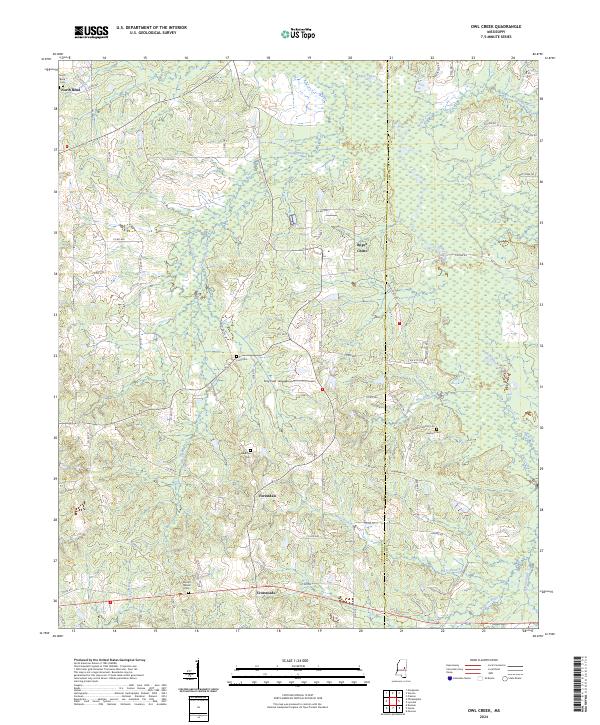
2024 Owl Creek
Neshoba County, MS