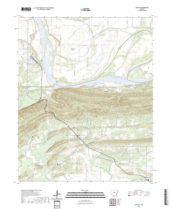
2024 Map of Houston
USGS Topo · Published 2024About this map
The Arkansas River and Fourche LaFave River define the alluvial landscape of Perry and Conway Counties, where the town of Houston sits between the water and rising terrain. This survey illustrates a network of rural roads connecting family-centered landmarks and riverbottom agriculture. To the west, the topography steepens at Perry Mtn and Toms Mountain, while the fertile lowlands of Sandtown Bottoms and Portland Bottoms reveal the importance of the river's path. Local genealogists will find several burial sites noted, including Houston Cem, Leach Cem, Bland Cem, and May Cem. The map also details the southeastern settlement of Bigelow and several prominent ridges such as Bunker Hill and Rocky Point. Small waterways like Cypress Creek and Mill Creek drain the area's many gaps and bends, including the pronounced Cypress Bend along the main river channel.
Find a feature on this map
79 named features on this map. Tap any name to fly to it.
Don’t see what you’re looking for? This feature index may not catch every label — zoom into the map to look around manually.
Map Details
Editions of this 2024 Houston Map
This is the sole edition of this map. No revisions or reprints were ever made.
Other maps of this area

1889 · Morrilton No. 3
USGS Topo · 1:62,500

1890 · Benton
USGS Topo · 1:125,000

1892 · Morrillton
USGS Topo · 1:125,000

1894 · Morrillton
USGS Topo · 1:125,000

1894 · Benton
USGS Topo · 1:125,000

1955 · Little Rock
USGS Topo · 1:250,000

1956 · Little Rock
USGS Topo · 1:250,000

1956 · Russellville
USGS Topo · 1:250,000

1960 · Little Rock
USGS Topo · 1:250,000

1961 · Menifee
USGS Topo · 1:24,000