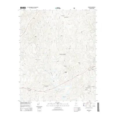
2014 Map of Houston
USGS Topo · Published 2014About this map
The waters of Lewis Smith Lake and the Sipsey Fork define this area of Winston County, where the southern reaches of the William B. Bankhead National Forest meet rural settlements. The map highlights a landscape deeply shaped by its drainage systems, including Grindstone Cr, Mill Cr, and Brushy Creek. Notable for genealogists, the region is dense with family and community burial grounds such as Lowrimore Cem, Shadix Cem, and Freeman Williams Cem. The settlement of Houston serves as a local hub, surrounded by a concentration of spiritual centers like the Houston Baptist Church Cem and Houston Church of God Cem. This 2014 survey documents the modern infrastructure of the Double Springs-Winston County Airport alongside local landmarks like Natural Bridge, illustrating the persistence of small-town communities in the heart of the Bankhead Forest.
Find a feature on this map
69 named features on this map. Tap any name to fly to it.
Don’t see what you’re looking for? This feature index may not catch every label — zoom into the map to look around manually.
Map Details
Editions of this 2014 Houston Map
This is the sole edition of this map. No revisions or reprints were ever made.
Other maps of this area

1935 · Upshaw
USGS Topo · 1:24,000

1935 · Danville
USGS Topo · 1:48,000

1936 · Moulton
USGS Topo · 1:48,000

1938 · Danville
USGS Topo · 1:62,500

1940 · Mt Hope
USGS Topo · 1:62,500

1956 · Gadsden
USGS Topo · 1:250,000

1958 · Gadsden
USGS Topo · 1:250,000

1960 · Gadsden
USGS Topo · 1:250,000
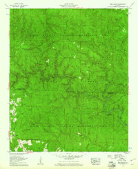
1960 · Bee Branch
USGS Topo · 1:24,000
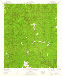
1960 · Grayson
USGS Topo · 1:24,000