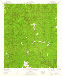
1960 Map of Grayson
USGS Topo · Published 1961About this map
The Grayson settlement serves as the primary outpost within this heavily forested region of the William B Bankhead National Forest and the Black Warrior Wildlife Management Area. Located at the intersection of the Mt Olive Road and Cheatham Road, the landscape is defined by the high ridge of the Tennessee Valley Divide and the winding course of the Sipsey River. For family historians, the map is a vital resource for locating remote burial sites, including McLemore Cem, Eastville Cem, and Shiloh Cem.
Find a feature on this map
42 named features on this map. Tap any name to fly to it.
Don’t see what you’re looking for? This feature index may not catch every label — zoom into the map to look around manually.
Map Details
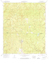
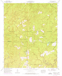
Editions of this 1960 Grayson Map
3 editions found
Other maps of this area

1935 · Moulton
USGS Topo · 1:24,000

1935 · Upshaw
USGS Topo · 1:24,000

1935 · Danville
USGS Topo · 1:48,000

1935 · Oakville
USGS Topo · 1:24,000

1936 · Moulton
USGS Topo · 1:48,000

1936 · Landersville
USGS Topo · 1:24,000

1938 · Danville
USGS Topo · 1:62,500

1940 · Mt Hope
USGS Topo · 1:62,500

1956 · Gadsden
USGS Topo · 1:250,000

1958 · Gadsden
USGS Topo · 1:250,000