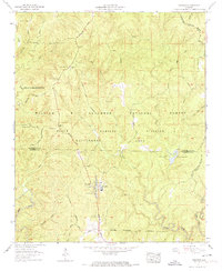
1960 Map of Grayson
USGS Topo · Published 1974About this map
Grayson sits at the heart of this 1960 survey, a small settlement surrounded by the managed wilds of the William B Bankhead National Forest. This landscape is defined by its conservation history and the deep drainages of the Sipsey River and Brushy Creek. The map documents a community deeply connected to its environment, shown through the presence of several country churches such as the Church of the Forest and Pine Torch Ch. The topography reveals the Tennessee Valley Divide snaking through the northern section, separating the waters that flow toward the Tennessee River from those heading south. Genealogists will find significant value in the numerous family cemeteries recorded across the hills, including McLemore Cem, Tapsville Cem, and Bunyan Hill Cem, often located near now-restricted motorways and forest roads like Cheatham Road.
Find a feature on this map
59 named features on this map. Tap any name to fly to it.
Don’t see what you’re looking for? This feature index may not catch every label — zoom into the map to look around manually.
Map Details
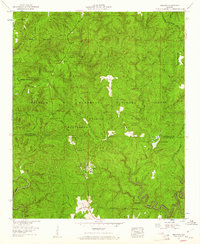
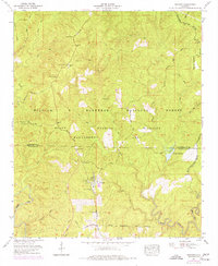
Editions of this 1960 Grayson Map
3 editions found
Other maps of this area

1935 · Moulton
USGS Topo · 1:24,000

1935 · Upshaw
USGS Topo · 1:24,000

1935 · Danville
USGS Topo · 1:48,000

1935 · Oakville
USGS Topo · 1:24,000

1936 · Moulton
USGS Topo · 1:48,000

1936 · Landersville
USGS Topo · 1:24,000

1938 · Danville
USGS Topo · 1:62,500

1940 · Mt Hope
USGS Topo · 1:62,500

1956 · Gadsden
USGS Topo · 1:250,000

1958 · Gadsden
USGS Topo · 1:250,000