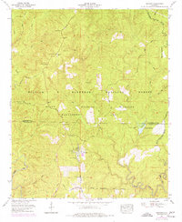
1960 Map of Grayson
USGS Topo · Published 1977About this map
Grayson sits as a lonely settlement within the expansive woodland managed as the William B Bankhead National Forest. This 1960s-era geography, updated with mid-1970s revisions, reveals a landscape defined by forestry and conservation, where the Black Warrior Wildlife Management Area overlaps with rugged creek valleys. The settlement at Grayson is notably self-contained, featuring a swimming pool, an Incinerator, and the uniquely named Church of the Forest.
Find a feature on this map
45 named features on this map. Tap any name to fly to it.
Don’t see what you’re looking for? This feature index may not catch every label — zoom into the map to look around manually.
Map Details
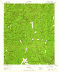
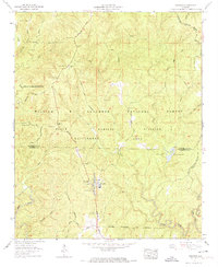
Editions of this 1960 Grayson Map
3 editions found
Other maps of this area

1935 · Moulton
USGS Topo · 1:24,000

1935 · Upshaw
USGS Topo · 1:24,000

1935 · Danville
USGS Topo · 1:48,000

1935 · Oakville
USGS Topo · 1:24,000

1936 · Moulton
USGS Topo · 1:48,000

1936 · Landersville
USGS Topo · 1:24,000

1938 · Danville
USGS Topo · 1:62,500

1940 · Mt Hope
USGS Topo · 1:62,500

1956 · Gadsden
USGS Topo · 1:250,000

1958 · Gadsden
USGS Topo · 1:250,000