
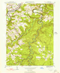
1944 Map of Houtzdale
USGS Topo · Published 1956About this map
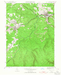
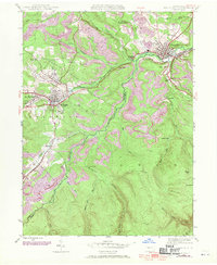
Moshannon Creek carves a winding path through the coal-rich highlands of Clearfield County, serving as the county line between Clearfield and Centre. In the mid-1940s, this landscape was defined by the density of its industrial and residential settlements, ranging from the central hub of Houtzdale to smaller villages like Brisbin, West Moshannon, and Sterling. The map documents a complex rail network essential for the region's extraction economy, notably at Osceola Mills P O and Sta, where the tracks follow the contours of the valley floor.
Find a feature on this map
47 named features on this map. Tap any name to fly to it.
Don’t see what you’re looking for? This feature index may not catch every label — zoom into the map to look around manually.
Map Details
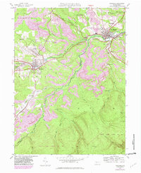
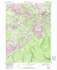
Editions of this 1944 Houtzdale Map
5 editions found
Other maps of this area

1903 · Houtzdale
USGS Topo · 1:62,500

1905 · Houtzdale
USGS Topo · 1:62,500

1920 · Altoona
USGS Topo · 1:62,500

1922 · Philipsburg
USGS Topo · 1:62,500

1922 · Altoona
USGS Topo · 1:62,500

1923 · Tyrone
USGS Topo · 1:62,500

1929 · Tyrone
USGS Topo · 1:48,000

1933 · Tyrone
USGS Topo · 1:62,500

1939 · Philipsburg
USGS Topo · 1:62,500
1944 · Glen Richey
USGS Topo · 1:24,000