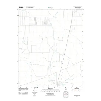
2011 Map of Howard Lake
USGS Topo · Published 2011About this map
Spring Valley Wash and Red Lake Wash carve a network of drainage channels across this high-desert landscape in Coconino County. The settlement pattern is defined by the small community of Quivero and a systematic grid of residential streets to the north in Four Hills, including roads like Bonnie Brae and Skyview Dr. The reliance on surface water management in this arid environment is evident from the numerous catchment systems scattered throughout the quadrangle, such as Railroad Tank, Mud Tank, and Twentyeight Tank. Toward the southern end of the map, the namesake Howard Lake sits near the base of La Mesa, providing a central reference point for the surrounding cattle tanks and ranching infrastructure like Eighteen Tank and Selman Tank.
Find a feature on this map
87 named features on this map. Tap any name to fly to it.
Don’t see what you’re looking for? This feature index may not catch every label — zoom into the map to look around manually.
Map Details
Editions of this 2011 Howard Lake Map
This is the sole edition of this map. No revisions or reprints were ever made.
Other maps of this area

1886 · Chino
USGS Topo · 1:250,000

1891 · Chino
USGS Topo · 1:250,000

1922 · Williams
USGS Topo · 1:125,000

1948 · Williams
USGS Topo · 1:250,000

1954 · Williams
USGS Topo · 1:250,000

1956 · Williams
USGS Topo · 1:250,000

1960 · Williams
USGS Topo · 1:250,000
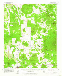
1960 · Williams
USGS Topo · 1:62,500

1961 · Williams
USGS Topo · 1:250,000

1962 · Valle
USGS Topo · 1:62,500