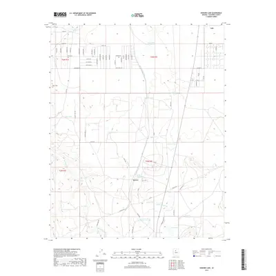
2018 Map of Howard Lake
USGS Topo · Published 2018About this map
Valle sits as a central junction in this high-desert landscape of northern Arizona, where the residential street grids of Crystal Vw and various avenues like Apollo Ave and Bonnie Brae contrast with the surrounding arid terrain. The area is defined by its extensive system of seasonal water catchments, including Twentyfour Tank, Railroad Tank, and Mud Tank, which supported the region's livestock interests. Drainage patterns are dominated by Spring Valley Wash and Red Lake Wash, which cut through the land toward Howard Lake in the south. To the west, the Four Hills provide a notable elevation change, while smaller settlements like Quivero are situated along the transit corridors. The map records a transition from traditional ranching landmarks, such as Mule Tank and Cow Tank, to more modern residential developments that have begun to fill in the township and range sections.
Find a feature on this map
108 named features on this map. Tap any name to fly to it.
Don’t see what you’re looking for? This feature index may not catch every label — zoom into the map to look around manually.
Map Details
Editions of this 2018 Howard Lake Map
This is the sole edition of this map. No revisions or reprints were ever made.
Other maps of this area

1886 · Chino
USGS Topo · 1:250,000

1891 · Chino
USGS Topo · 1:250,000

1922 · Williams
USGS Topo · 1:125,000

1948 · Williams
USGS Topo · 1:250,000

1954 · Williams
USGS Topo · 1:250,000

1956 · Williams
USGS Topo · 1:250,000

1960 · Williams
USGS Topo · 1:250,000
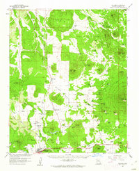
1960 · Williams
USGS Topo · 1:62,500

1961 · Williams
USGS Topo · 1:250,000

1962 · Valle
USGS Topo · 1:62,500