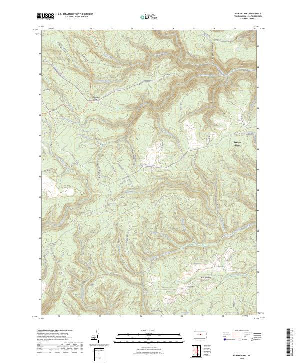
2023 Map of Howard NW
USGS Topo · Published 2023About this map
Eagleton Fields stands as a notable clearing in the dense high-plateau landscape of Clinton County, marking a site of human activity amidst a vast network of drainage basins. The area is defined by the headwaters of numerous runs and branches, including the North Fork Tangascootack Creek and Baker Run, which carve deep into the plateau through features like Conklin Hollow and Roger Hollow. This modern survey reveals a landscape largely dedicated to conservation and recreation, crisscrossed by extensive trail systems such as the Chuck Keiper Trl and the Beech Creek Snowmobile Trails Trl. Significant family-named landmarks like Shoemaker Ridge and the Dishpan Hollow provide context for earlier logging or settlement patterns. The presence of Bear Swamp in the southern reaches highlights the complex hydrology of this upland region, where naming conventions like Slaughtering Ground Rd hint at the area's long-standing hunting and wilderness heritage.
Find a feature on this map
63 named features on this map. Tap any name to fly to it.
Don’t see what you’re looking for? This feature index may not catch every label — zoom into the map to look around manually.
Map Details
Editions of this 2023 Howard NW Map
This is the sole edition of this map. No revisions or reprints were ever made.
Other maps of this area

1921 · Howard
USGS Topo · 1:48,000

1923 · Howard
USGS Topo · 1:62,500

1928 · Snow Shoe
USGS Topo · 1:48,000

1931 · Show Shoe
USGS Topo · 1:62,500

1943 · Hyner
USGS Topo · 1:62,500

1946 · Renovo East
USGS Topo · 1:62,500

1946 · Renovo West
USGS Topo · 1:62,500

1946 · Renovo East
USGS Topo · 1:24,000

1946 · Renovo West
USGS Topo · 1:24,000

1946 · Glen Union
USGS Topo · 1:24,000
Featured Places
- Grugan Township, PA
- Beech Creek Township, PA
- Noyes Township, PA
- Bear Swamp, Beech Creek Township
- Eagleton Fields, Grugan Township