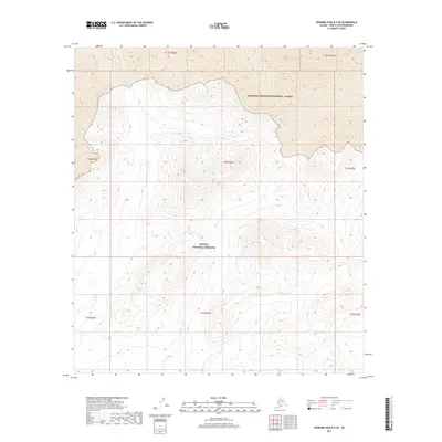
2017 Map of Howard Pass B-4 SE
USGS Topo · Published 2017About this map
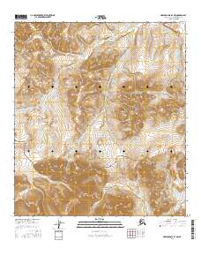
Noatak National Preserve occupies the southern half of this interior landscape, marking a transition across the ridgelines of the Brooks Range. To the north, the terrain descends into the southern reaches of the National Petroleum Reserve - Alaska, a vast federal land reserve established for its resource potential. The drainage of Story Cr in the northwest corner highlights the headwater systems that define this remote high-altitude region. The map illustrates the topographic complexity of the Howard Pass area, where public land boundaries intersect amidst a network of unnamed peaks and valleys that separate the Noatak and Colville river watersheds.
Find a feature on this map
11 named features on this map. Tap any name to fly to it.
Don’t see what you’re looking for? This feature index may not catch every label — zoom into the map to look around manually.
Map Details
Editions of this 2017 Howard Pass B-4 SE Map
This is the sole edition of this map. No revisions or reprints were ever made.
Other maps of this area

1951 · Howard Pass
USGS Topo · 1:250,000

1956 · Howard Pass
USGS Topo · 1:250,000

1984 · Howard Pass A-3
USGS Topo · 1:63,360

1984 · Howard Pass B-4
USGS Topo · 1:63,360

1984 · Howard Pass B-3
USGS Topo · 1:63,360
1990 · Howard Pass A-4
USGS Topo · 1:63,360
2015 · Howard Pass A-4 NW
USGS Topo · 1:25,000
2015 · Howard Pass B-4 SW
USGS Topo · 1:25,000
2016 · Howard Pass B-4 NW
USGS Topo · 1:25,000
2017 · Howard Pass A-4 NE
USGS Topo · 1:25,000