
1984 Map of Howard Pass B-3
USGS Topo · Published 1984About this map
Ipnavik River meanders across this northern Alaskan landscape, marking a transition between major protected federal lands in the 1980s. The northern portion of the map is dominated by the National Petroleum Reserve in Alaska, while the southern reaches fall within the Noatak National Preserve and the more restrictive Noatak Wilderness. A significant cartographic detail is the convergence of regional survey lines, notably the South Boundary Umiat Meridian North Boundary Kateel River Meridian. The topography rises toward the Howard Hills in the southeast, drained by a network of waterways including Bupto Creek, Memorial Creek, and Safari Creek. This survey represents the region shortly after the establishment of these federal boundaries under the Alaska National Interest Lands Conservation Act of 1980.
Find a feature on this map
11 named features on this map. Tap any name to fly to it.
Don’t see what you’re looking for? This feature index may not catch every label — zoom into the map to look around manually.
Map Details
Editions of this 1984 Howard Pass B-3 Map
This is the sole edition of this map. No revisions or reprints were ever made.
Other maps of this area

1951 · Howard Pass
USGS Topo · 1:250,000

1956 · Howard Pass
USGS Topo · 1:250,000
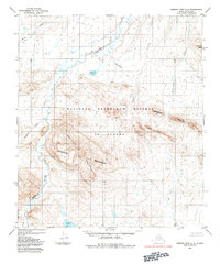
1984 · Howard Pass C-2
USGS Topo · 1:63,360
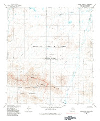
1984 · Howard Pass B-2
USGS Topo · 1:63,360
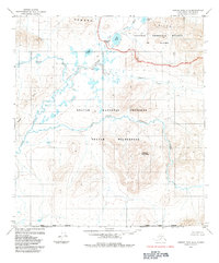
1984 · Howard Pass A-2
USGS Topo · 1:63,360

1984 · Howard Pass A-3
USGS Topo · 1:63,360

1984 · Howard Pass B-4
USGS Topo · 1:63,360

1984 · Howard Pass C-4
USGS Topo · 1:63,360

1984 · Howard Pass C-3
USGS Topo · 1:63,360
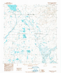
1990 · Howard Pass A-4
USGS Topo · 1:63,360