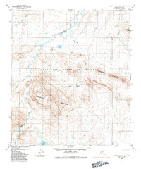
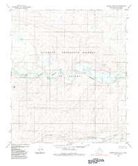
1984 Map of Howard Pass C-2
USGS Topo · Published 1984About this map
Ekakevik Mountain and the surrounding North Slope wilderness define this 1980s landscape, which is entirely contained within the National Petroleum Reserve in Alaska. The terrain is characterized by the meandering Ipnavik River and a network of drainages including Ekukevik Creek and Cuta Creek. At this time, the Bureau of Land Management oversaw these lands, which remain largely devoid of permanent human settlements or infrastructure. Significant topographic features like the Lisburne Ridge and Smith Mtn rise above the river valleys, while Battery Lake and Tukuto Lake provide critical water sources in this Arctic environment. The map captures a moment of geological and environmental study during an era of continued energy exploration and conservation assessment on the North Slope.
Find a feature on this map
12 named features on this map. Tap any name to fly to it.
Don’t see what you’re looking for? This feature index may not catch every label — zoom into the map to look around manually.
Map Details
Editions of this 1984 Howard Pass C-2 Map
This is the sole edition of this map. No revisions or reprints were ever made.
Other maps of this area

1951 · Howard Pass
USGS Topo · 1:250,000

1956 · Howard Pass
USGS Topo · 1:250,000
1984 · Howard Pass B-1
USGS Topo · 1:63,360

1984 · Howard Pass D-1
USGS Topo · 1:63,360

1984 · Howard Pass C-1
USGS Topo · 1:63,360
1984 · Howard Pass B-2
USGS Topo · 1:63,360
1984 · Howard Pass D-3
USGS Topo · 1:63,360
1984 · Howard Pass D-2
USGS Topo · 1:63,360

1984 · Howard Pass B-3
USGS Topo · 1:63,360

1984 · Howard Pass C-3
USGS Topo · 1:63,360