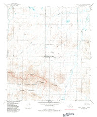
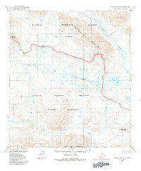
1984 Map of Howard Pass B-2
USGS Topo · Published 1984About this map
Kavaksurak Mountain anchors the southern portion of this landscape, situated within the vast boundaries of the Noatak National Preserve and the Noatak Wilderness. These protected lands were established under the Alaska National Interest Lands Conservation Act shortly before this survey was updated. To the north, the terrain transitions into the National Petroleum Reserve in Alaska, a region defined by its complex drainage systems and open tundra.
Find a feature on this map
14 named features on this map. Tap any name to fly to it.
Don’t see what you’re looking for? This feature index may not catch every label — zoom into the map to look around manually.
Map Details
Editions of this 1984 Howard Pass B-2 Map
This is the sole edition of this map. No revisions or reprints were ever made.
Other maps of this area

1951 · Howard Pass
USGS Topo · 1:250,000

1956 · Howard Pass
USGS Topo · 1:250,000
1984 · Howard Pass B-1
USGS Topo · 1:63,360

1984 · Howard Pass C-1
USGS Topo · 1:63,360
1984 · Howard Pass C-2
USGS Topo · 1:63,360
1984 · Howard Pass A-2
USGS Topo · 1:63,360
1984 · Howard Pass A-1
USGS Topo · 1:63,360

1984 · Howard Pass A-3
USGS Topo · 1:63,360

1984 · Howard Pass B-3
USGS Topo · 1:63,360

1984 · Howard Pass C-3
USGS Topo · 1:63,360