
1984 Map of Howard Pass C-1
USGS Topo · Published 1984About this map
The National Petroleum Reserve In Alaska dominates this 1984 topographical study, capturing a vast Arctic wilderness defined by braided waterways and steep ridges. The confluence of the Etivluk River and the Nigu River highlights a landscape where water is the primary sculptor of the terrain. The northern portion of the map is anchored by the Smith Mountain massif, including Kingak Mountain and the concentrated cluster of the Smith Mountain Lakes. Further south, the prominent Lisburne Ridge and Puvakrat Mountain break the horizon, providing significant landmarks in an area devoid of roads or permanent settlements. This survey reflects the remote character of the North Slope in the early 1980s, emphasizing natural drainage patterns like Kutchaurak Creek and the localized basins of Tukuto Creek.
Find a feature on this map
11 named features on this map. Tap any name to fly to it.
Don’t see what you’re looking for? This feature index may not catch every label — zoom into the map to look around manually.
Map Details
Editions of this 1984 Howard Pass C-1 Map
This is the sole edition of this map. No revisions or reprints were ever made.
Other maps of this area

1951 · Howard Pass
USGS Topo · 1:250,000

1951 · Killik River
USGS Topo · 1:250,000

1956 · Howard Pass
USGS Topo · 1:250,000

1956 · Killik River
USGS Topo · 1:250,000
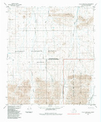
1984 · Killik River B-5
USGS Topo · 1:63,360
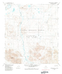
1984 · Howard Pass B-1
USGS Topo · 1:63,360

1984 · Howard Pass D-1
USGS Topo · 1:63,360
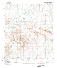
1984 · Howard Pass C-2
USGS Topo · 1:63,360
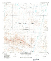
1984 · Howard Pass B-2
USGS Topo · 1:63,360

1984 · Killik River D-5
USGS Topo · 1:63,360