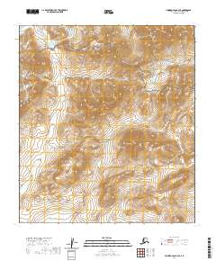
2020 Map of Howard Pass B-4 SE
USGS Topo · Published 2020About this map
Noatak National Preserve and the southern edge of the National Petroleum Reserve - Alaska meet in this high-latitude Alaskan landscape. The terrain is defined by the headwaters and drainage patterns of remote waterways including Story Cr in the northwest and Safari Cr in the northeast. This 2020 survey illustrates the transition between these two massive federal land designations, where the preserved wilderness of the Noatak basin abuts the designated petroleum reserve. The map detail focuses on the complex topography and hydrological network of the North Slope, capturing the pristine drainage systems of the Arctic interior before they join larger river systems.
Find a feature on this map
12 named features on this map. Tap any name to fly to it.
Don’t see what you’re looking for? This feature index may not catch every label — zoom into the map to look around manually.
Map Details
Editions of this 2020 Howard Pass B-4 SE Map
This is the sole edition of this map. No revisions or reprints were ever made.
Other maps of this area

1951 · Howard Pass
USGS Topo · 1:250,000

1956 · Howard Pass
USGS Topo · 1:250,000

1984 · Howard Pass A-3
USGS Topo · 1:63,360

1984 · Howard Pass B-4
USGS Topo · 1:63,360

1984 · Howard Pass B-3
USGS Topo · 1:63,360
1990 · Howard Pass A-4
USGS Topo · 1:63,360
2015 · Howard Pass A-4 NW
USGS Topo · 1:25,000
2015 · Howard Pass B-4 SW
USGS Topo · 1:25,000
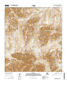
2016 · Howard Pass B-4 NW
USGS Topo · 1:25,000
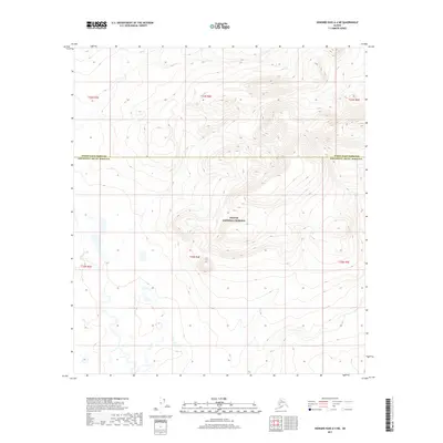
2017 · Howard Pass A-4 NE
USGS Topo · 1:25,000