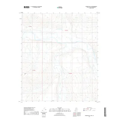
2017 Map of Howard Pass D-3 NW
USGS Topo · Published 2017About this map
The Colville River flows across this Arctic landscape, marking a significant drainage path through the North Slope Borough. This 2017 survey illustrates the confluence area where the Kuna River meets the larger Colville system, a critical hydraulic junction in this uninhabited region. The terrain is defined by the prominent Etigonik Mtn in the southwest, rising above the surrounding river plains. The mapping of these watercourses and elevations follows the Public Land Survey System grid, specifically covering portions of t5s r25w, t5s r24w, t6s r25w, and t6s r24w. The arrangement of these labels suggests a landscape shaped by glacial and fluvial processes, where the rivers serve as the primary geographic landmarks in an area devoid of roads or settlements.
Find a feature on this map
7 named features on this map. Tap any name to fly to it.
Don’t see what you’re looking for? This feature index may not catch every label — zoom into the map to look around manually.
Map Details
Editions of this 2017 Howard Pass D-3 NW Map
This is the sole edition of this map. No revisions or reprints were ever made.
Other maps of this area

1951 · Lookout Ridge
USGS Topo · 1:250,000

1951 · Howard Pass
USGS Topo · 1:250,000

1956 · Lookout Ridge
USGS Topo · 1:250,000

1956 · Howard Pass
USGS Topo · 1:250,000
1984 · Howard Pass D-4
USGS Topo · 1:63,360
1984 · Howard Pass D-3
USGS Topo · 1:63,360
1984 · Lookout Ridge A-4
USGS Topo · 1:63,360
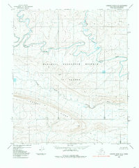
1984 · Lookout Ridge A-3
USGS Topo · 1:63,360
2016 · Lookout Ridge A-3 SW
USGS Topo · 1:25,000
2016 · Lookout Ridge A-3 SE
USGS Topo · 1:25,000