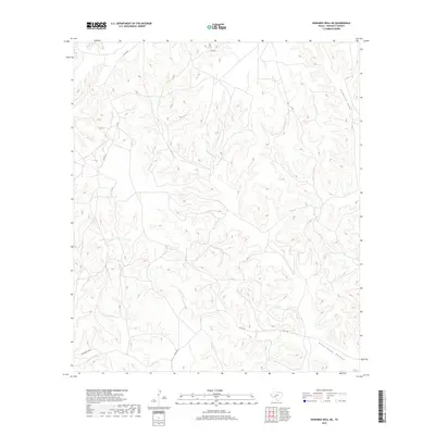
2019 Map of Howards Well NE
USGS Topo · Published 2019About this map
Government Canyon dominates the southeastern portion of this Crockett County landscape, illustrating the intricate drainage patterns characteristic of the Edwards Plateau. This 2019 survey by the U.S. Geological Survey provides a precise view of the dry wash systems that define the area, including Anderson Draw and Sevenmile Draw. The map reveals a sparse infrastructure typical of West Texas ranching country, where travel is limited to county routes such as Co Rd 401 and Co Rd 402. A single named thoroughfare, Dove St, and several numbered routes like Cr 106 and Cr 206 provide the only access through the deeply dissected terrain, marking the intersection of modern logistics and the enduring physical geography of the Trans-Pecos region.
Find a feature on this map
8 named features on this map. Tap any name to fly to it.
Don’t see what you’re looking for? This feature index may not catch every label — zoom into the map to look around manually.
Map Details
Editions of this 2019 Howards Well NE Map
This is the sole edition of this map. No revisions or reprints were ever made.
Other maps of this area

1954 · Sonora
USGS Topo · 1:250,000

1958 · Sonora
USGS Topo · 1:250,000

1967 · Baggett Ranch
USGS Topo · 1:24,000

1967 · Hunt Ranch
USGS Topo · 1:24,000

1967 · Mitchell Canyon
USGS Topo · 1:24,000

1970 · Howards Well NE
USGS Topo · 1:24,000

1970 · Aermotor Draw
USGS Topo · 1:24,000

1970 · Indian Draw
USGS Topo · 1:24,000

1970 · Howards Well
USGS Topo · 1:24,000

1970 · Howards Well SW
USGS Topo · 1:24,000