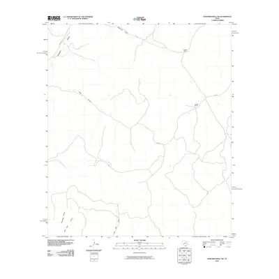
2010 Map of Howards Well SW
USGS Topo · Published 2010About this map
The remote ranching country of Val Verde County is defined by a network of ephemeral watercourses and isolated outposts in this 2010 survey. Significant drainage features like Howard Draw and Sevenmile Draw cut through the arid landscape, shaping the terrain where local roads like Pandale Rd and Co Rd 402 provide the only reliable access. The map reveals the placement of long-established operations such as Watson Ranch and Kincaid Ranch, which represent the primary human presence in this region of the Edwards Plateau. Deeply carved relief is evident in named landmarks like Jesus Canyon and Escondido Canyon, illustrating the rugged topography that necessitates water sources like New Well. This record captures the persistent ranching patterns and geographic isolation characteristic of the West Texas frontier at the start of the twenty-first century.
Find a feature on this map
12 named features on this map. Tap any name to fly to it.
Don’t see what you’re looking for? This feature index may not catch every label — zoom into the map to look around manually.
Map Details
Editions of this 2010 Howards Well SW Map
This is the sole edition of this map. No revisions or reprints were ever made.
Other maps of this area

1954 · Sonora
USGS Topo · 1:250,000

1958 · Sonora
USGS Topo · 1:250,000

1970 · Howards Well NE
USGS Topo · 1:24,000

1970 · Antone Canyon
USGS Topo · 1:24,000

1970 · Aermotor Draw
USGS Topo · 1:24,000

1970 · Pandale
USGS Topo · 1:24,000

1970 · Steel Star Draw
USGS Topo · 1:24,000

1970 · Howards Well
USGS Topo · 1:24,000

1970 · Howards Well SW
USGS Topo · 1:24,000
1970 · Divide Well Draw
USGS Topo · 1:24,000