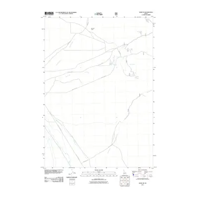
2011 Map of Howe NE
USGS Topo · Published 2011About this map
Little Lost River and its network of ephemeral and perennial drainages define this high-desert landscape in Butte County. The area is characterized by a series of named creek beds, including Uncle Ike Creek, North Creek, and South Creek, which descend from higher elevations toward the river valley. The corridor is oriented around the Little Lost Hwy, a vital transportation route following the river's path. Local landmarks like Mormon Gulch suggest a history of exploration and transit through the valley. Other geographic features include Warm Spring Creek and Camp Creek, indicating points where water sources intersect with backcountry roads like Uncle Ike Rd and North Creek Rd. This map reflects the remote character of the Idaho interior in the early 21st century, where the land is primarily organized by its watershed and a few established access roads.
Find a feature on this map
11 named features on this map. Tap any name to fly to it.
Don’t see what you’re looking for? This feature index may not catch every label — zoom into the map to look around manually.
Map Details
Editions of this 2011 Howe NE Map
This is the sole edition of this map. No revisions or reprints were ever made.
Other maps of this area

1955 · Dubois
USGS Topo · 1:250,000

1955 · Idaho Falls
USGS Topo · 1:250,000

1957 · Diamond Peak
USGS Topo · 1:62,500

1958 · Dubois
USGS Topo · 1:250,000

1958 · Idaho Falls
USGS Topo · 1:250,000

1969 · Arco Pass
USGS Topo · 1:24,000

1969 · Little Lost River Sinks
USGS Topo · 1:24,000

1969 · Eightmile Canyon
USGS Topo · 1:24,000

1969 · Tyler Peak
USGS Topo · 1:24,000

1969 · Howe
USGS Topo · 1:24,000