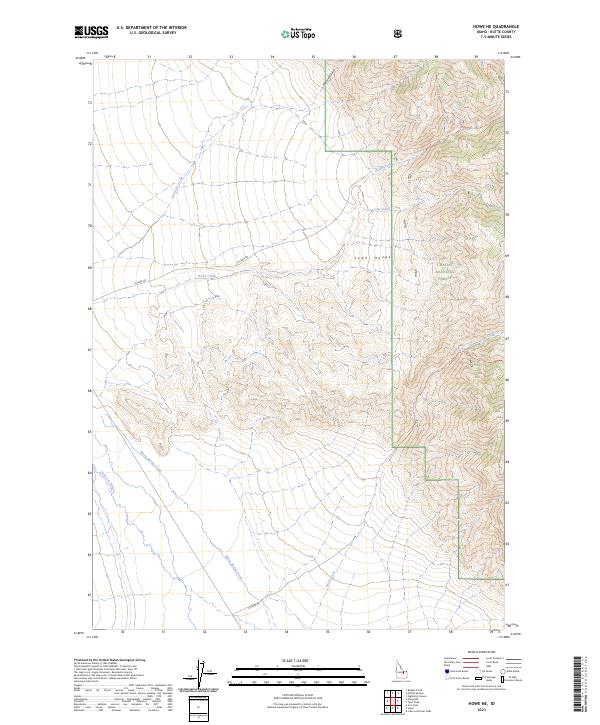
2023 Map of Howe NE
USGS Topo · Published 2023About this map
The Lemhi Range dominates the eastern landscape of this quadrangle, where the high peaks of the Challis National Forest overlook the drainage basins of the Little Lost River valley. This high-altitude terrain is defined by a series of steep drainages, including Mormon Gulch and Camp Creek, which feed into the larger creek systems below. The map detail highlights the intersection of natural topography and early resource access, evidenced by the North Creek Claims Trl and various routes like N Creek Rd that follow the natural contours of the valley floor.
Find a feature on this map
33 named features on this map. Tap any name to fly to it.
Don’t see what you’re looking for? This feature index may not catch every label — zoom into the map to look around manually.
Map Details
Editions of this 2023 Howe NE Map
This is the sole edition of this map. No revisions or reprints were ever made.
Other maps of this area

1955 · Dubois
USGS Topo · 1:250,000

1955 · Idaho Falls
USGS Topo · 1:250,000

1957 · Diamond Peak
USGS Topo · 1:62,500

1958 · Dubois
USGS Topo · 1:250,000

1958 · Idaho Falls
USGS Topo · 1:250,000

1969 · Arco Pass
USGS Topo · 1:24,000

1969 · Little Lost River Sinks
USGS Topo · 1:24,000

1969 · Eightmile Canyon
USGS Topo · 1:24,000

1969 · Tyler Peak
USGS Topo · 1:24,000

1969 · Howe
USGS Topo · 1:24,000