
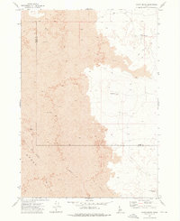
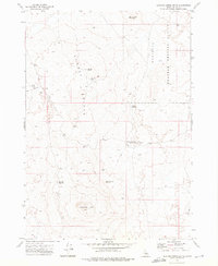
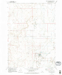
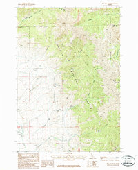
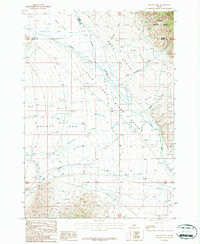
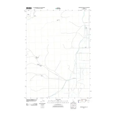
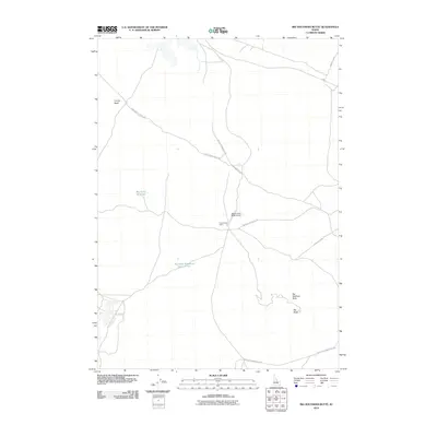
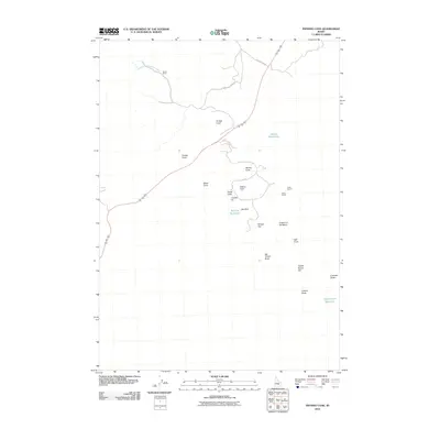
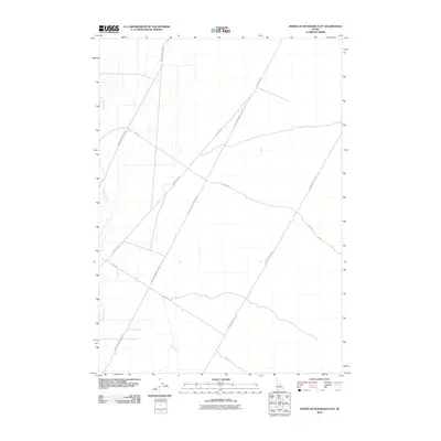
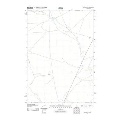
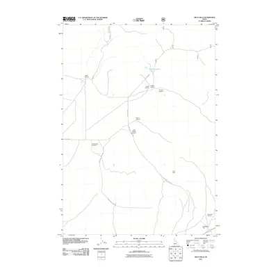
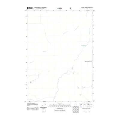
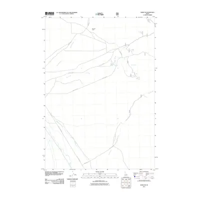
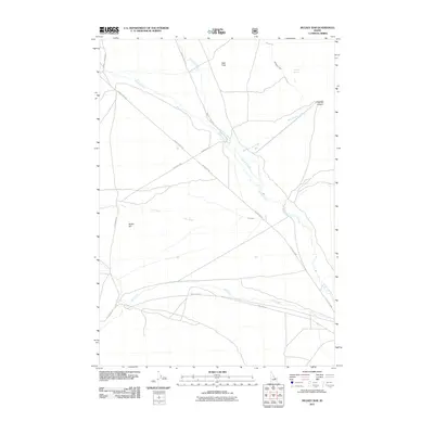
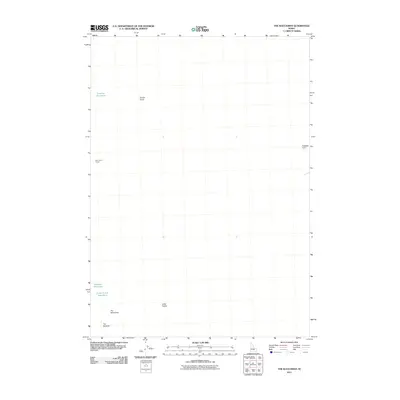
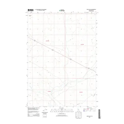
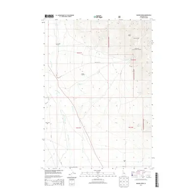
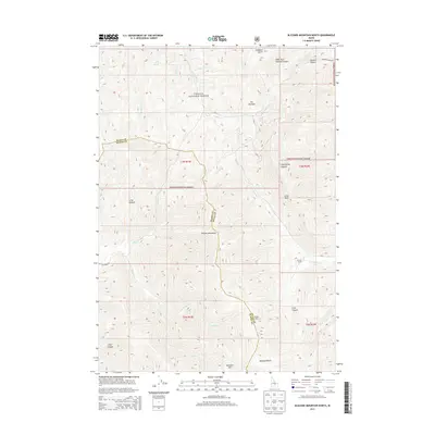
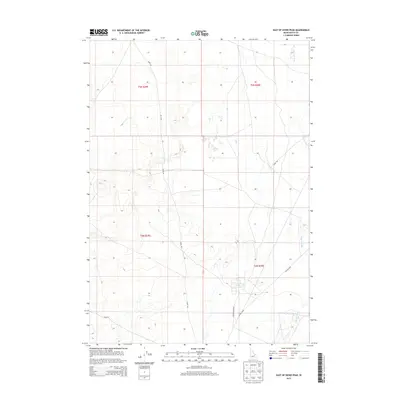
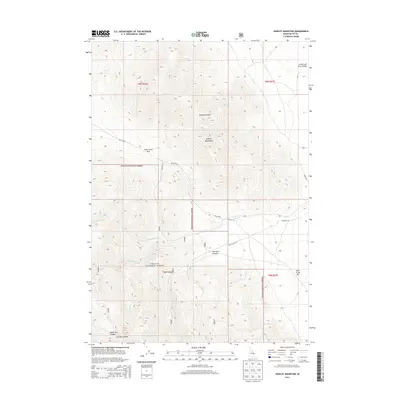
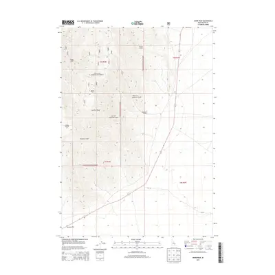
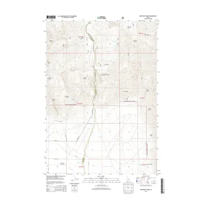
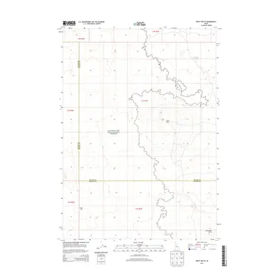
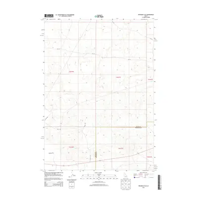
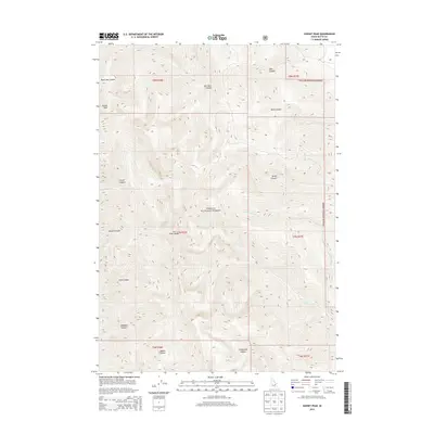
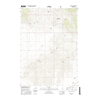
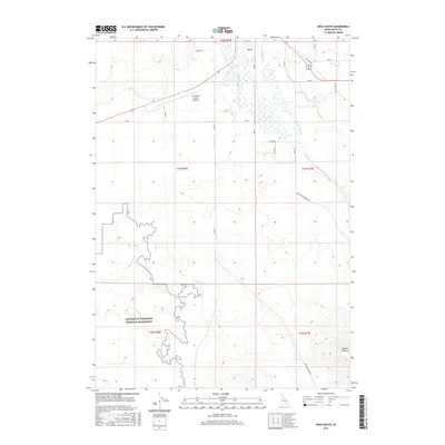
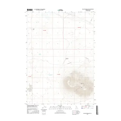
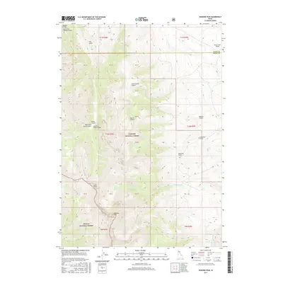
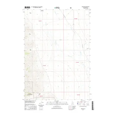
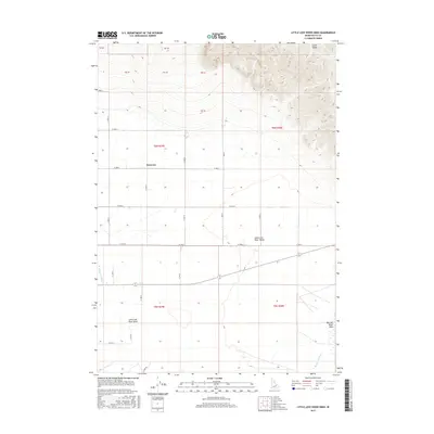
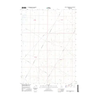
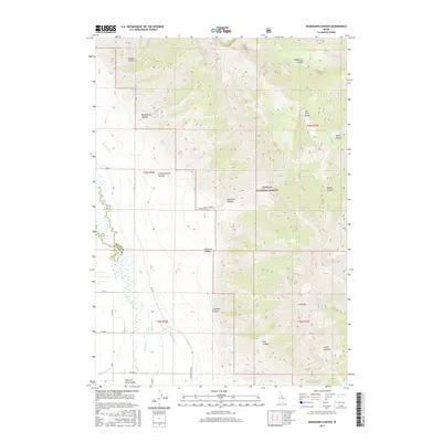
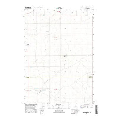
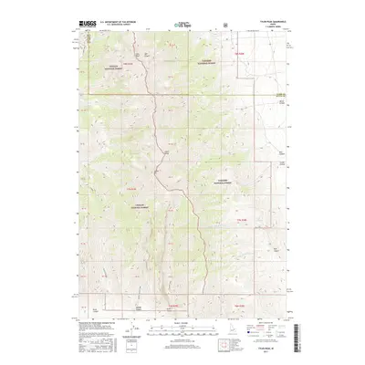
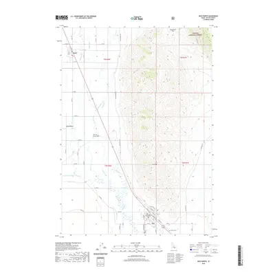
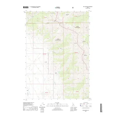
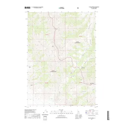
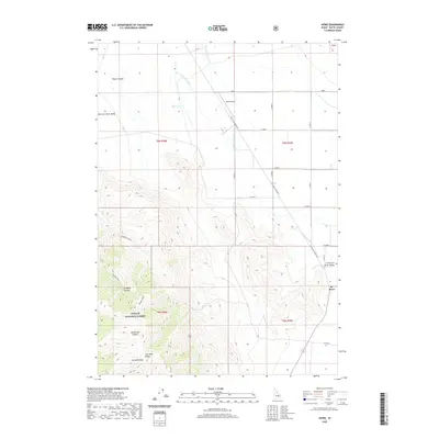
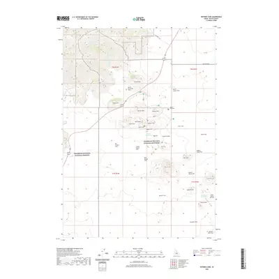
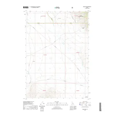
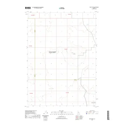
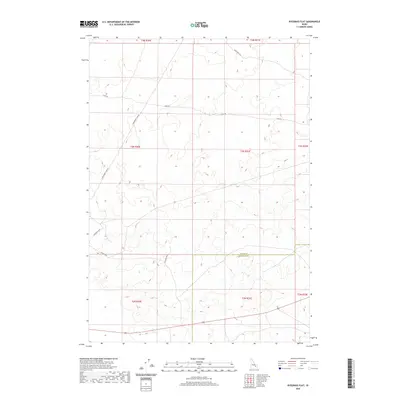
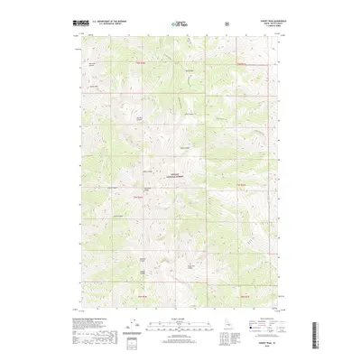
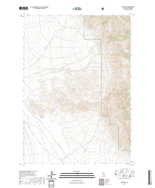
1969 Map of Howe NE
USGS Topo · Published 1973About this map
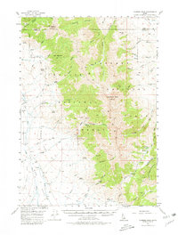
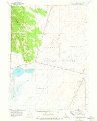
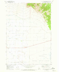
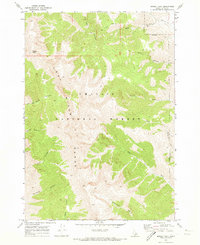
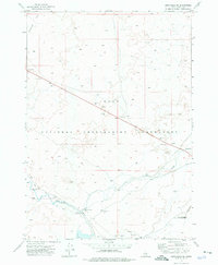
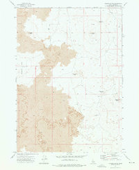
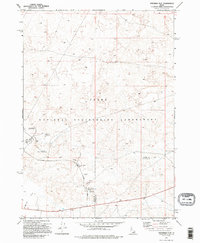
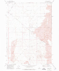
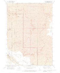
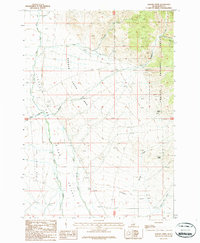
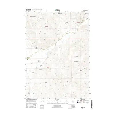
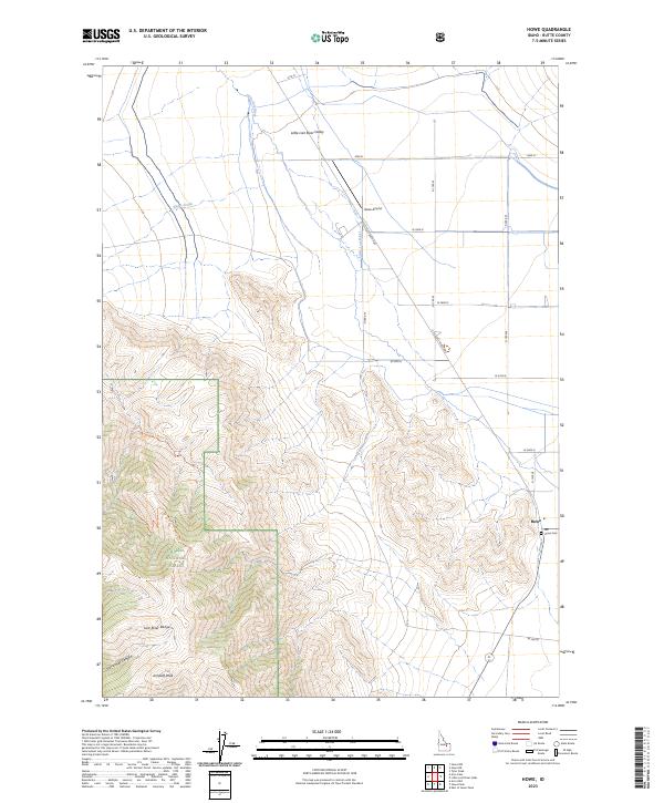
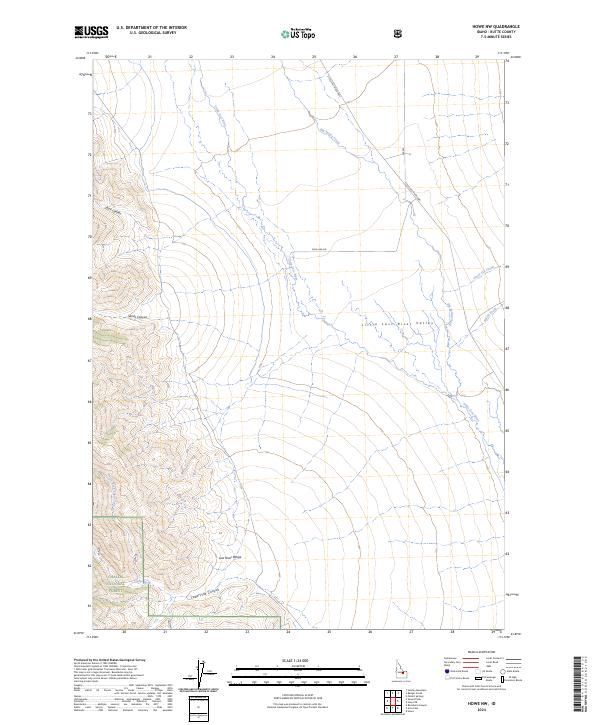
The Little Lost River Valley serves as the focal point for this late 1960s survey of high-desert terrain in Butte County. Human activity is largely defined by resource extraction and water management, evidenced by a Mine and various Prospects located near the Challis National Forest boundary. Water infrastructure is critical in this arid environment, featuring a Diversion Dam on North Creek and a network of Tailings Ponds that hint at active industrial operations of the era.
Find a feature on this map
20 named features on this map. Tap any name to fly to it.
Don’t see what you’re looking for? This feature index may not catch every label — zoom into the map to look around manually.
Map Details
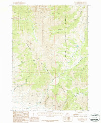
Editions of this 1969 Howe NE Map
This is the sole edition of this map. No revisions or reprints were ever made.
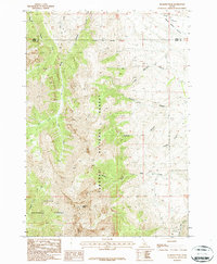
Historical Maps of Butte County Through Time
255 maps found
1957 Diamond Peak
Butte County, ID
1957 Hawley Mountain
Butte County, ID
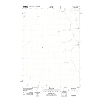
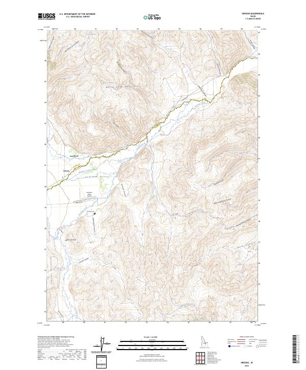
1960 Grouse
Butte County, ID
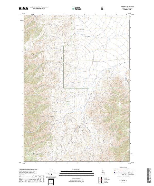
1969 Arco Pass
Butte County, ID
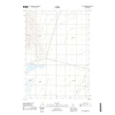
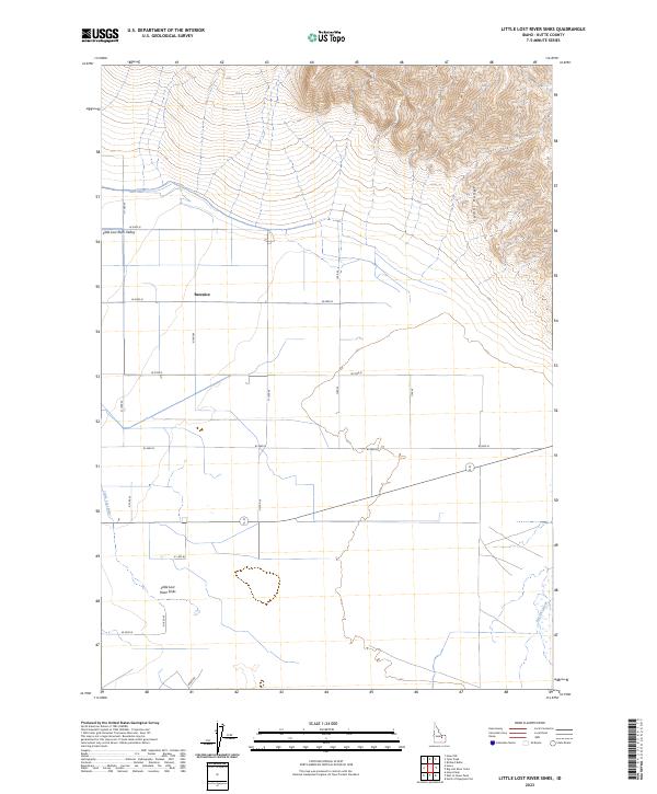
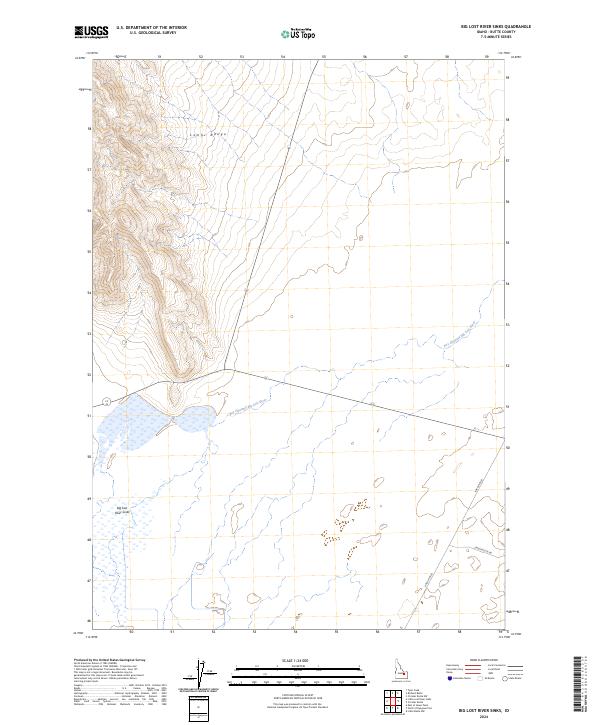
1969 Big Lost River Sinks
Butte County, ID
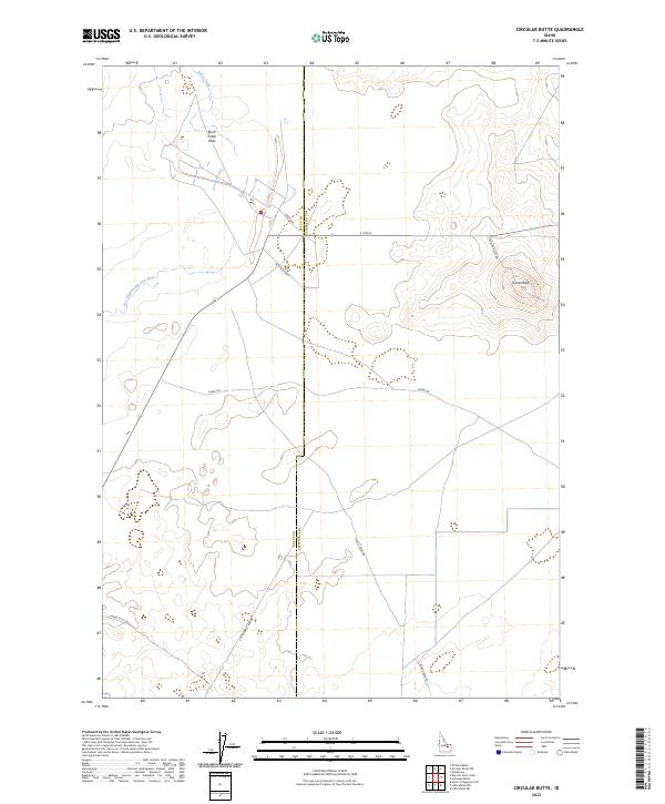
1969 Circular Butte
Butte County, ID
1969 Howe
Butte County, ID
1969 Howe NE
Butte County, ID
1969 Howe NW
Butte County, ID
1969 Little Lost River Sinks
Butte County, ID
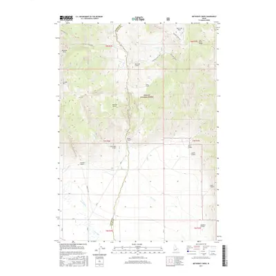
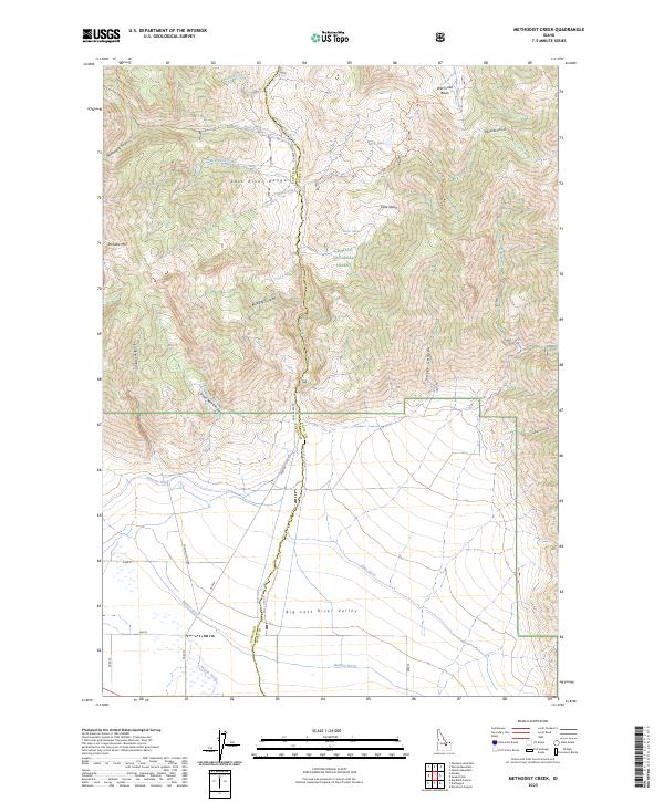
1969 Methodist Creek
Butte County, ID
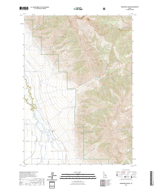
1969 Ramshorn Canyon
Butte County, ID
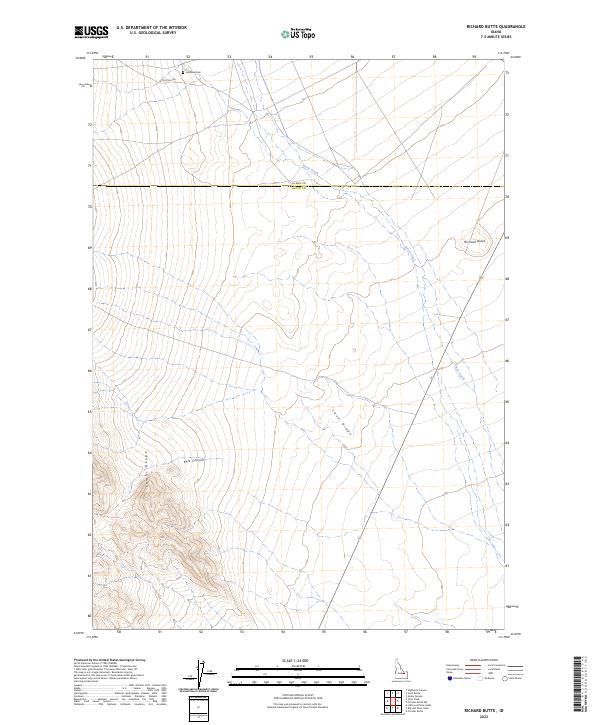
1969 Richard Butte
Butte County, ID
1969 Sunset Peak
Butte County, ID
1969 Tyler Peak
Butte County, ID
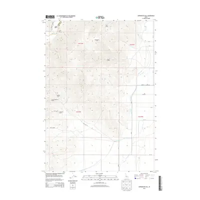
1972 Appendicitis Hill
Butte County, ID
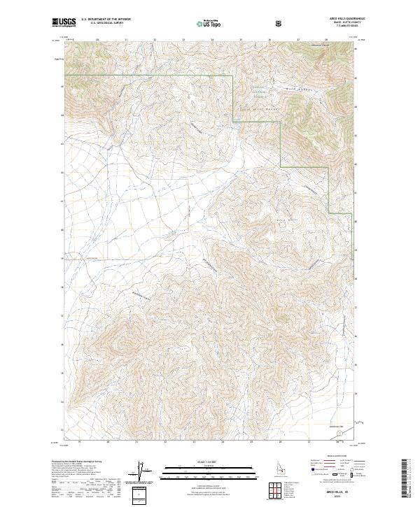
1972 Arco Hills
Butte County, ID
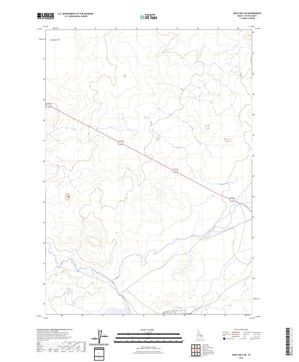
1972 Arco Hills SE
Butte County, ID
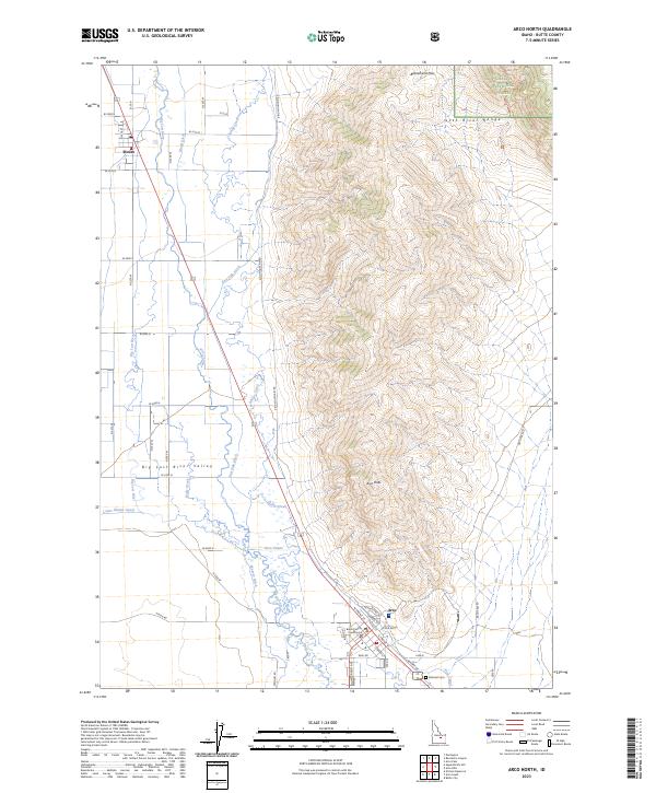
1972 Arco North
Butte County, ID
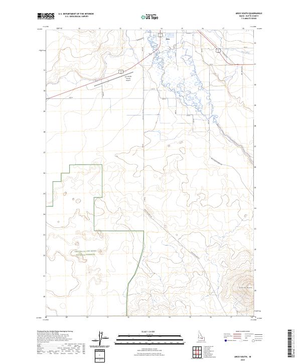
1972 Arco South
Butte County, ID
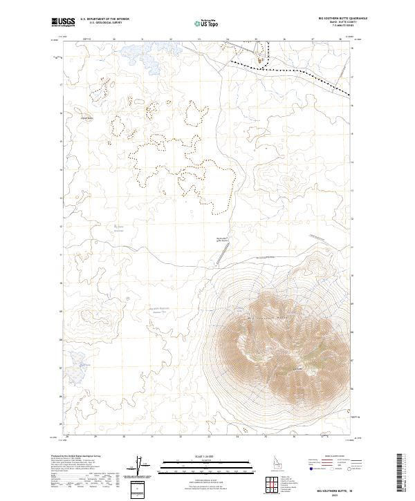
1972 Big Southern Butte
Butte County, ID
1972 Fingers Butte
Butte County, ID
1972 Howe Peak
Butte County, ID
1972 Inferno Cone
Butte County, ID
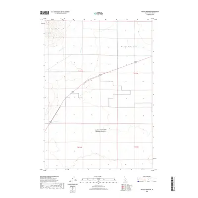
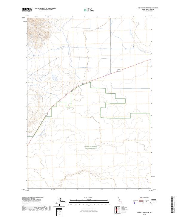
1972 Nichols Reservoir
Butte County, ID
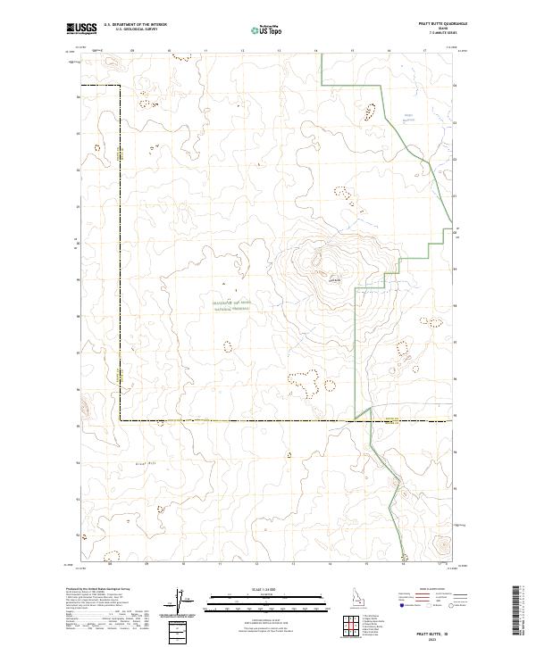
1972 Pratt Butte
Butte County, ID
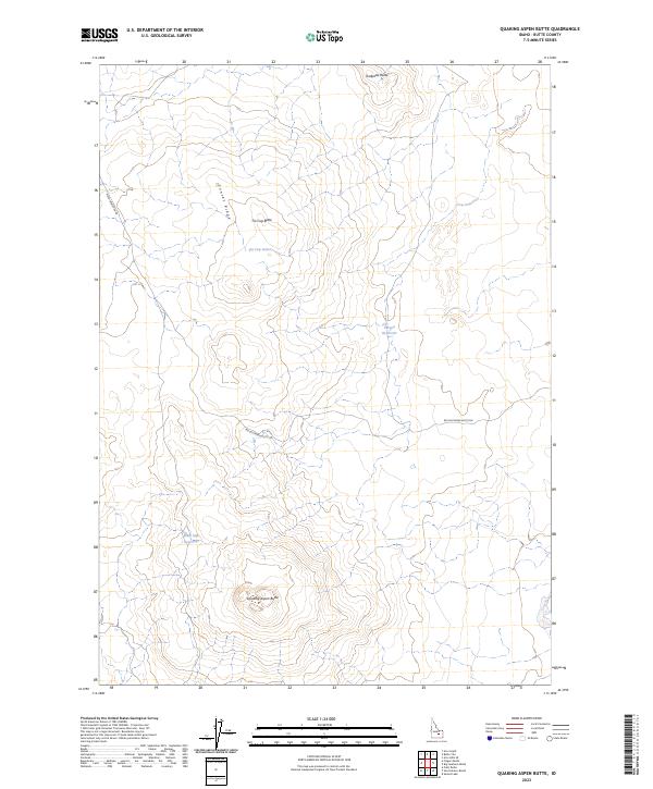
1972 Quaking Aspen Butte
Butte County, ID
1972 Serviceberry Butte
Butte County, ID
1972 Sunset Lake
Butte County, ID
1973 East of Howe Peak
Butte County, ID
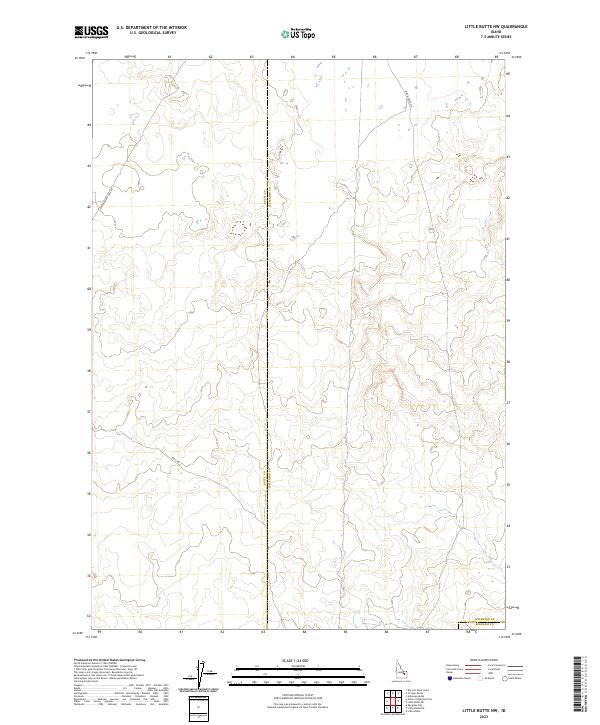
1973 Little Butte NW
Butte County, ID
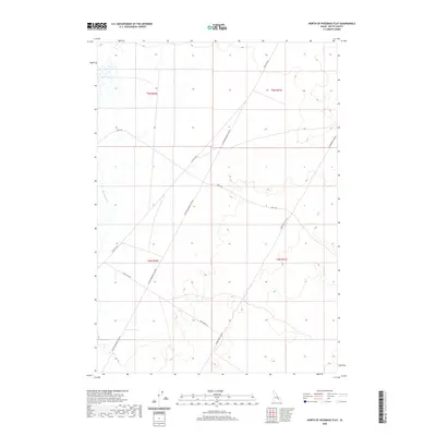
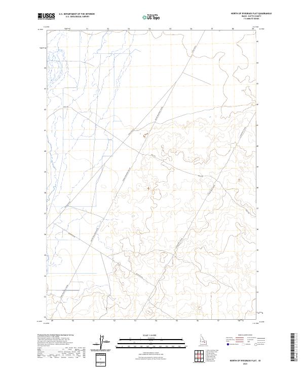
1973 North Of Ryegrass Flat
Butte County, ID
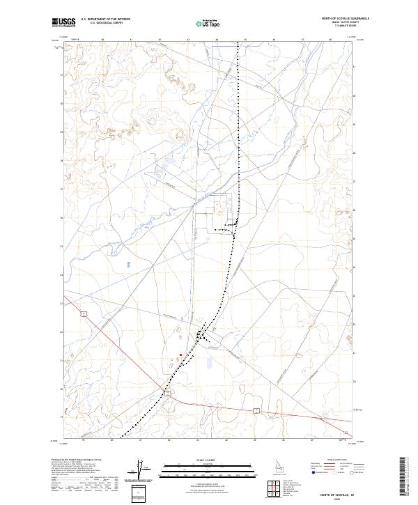
1973 North Of Scoville
Butte County, ID
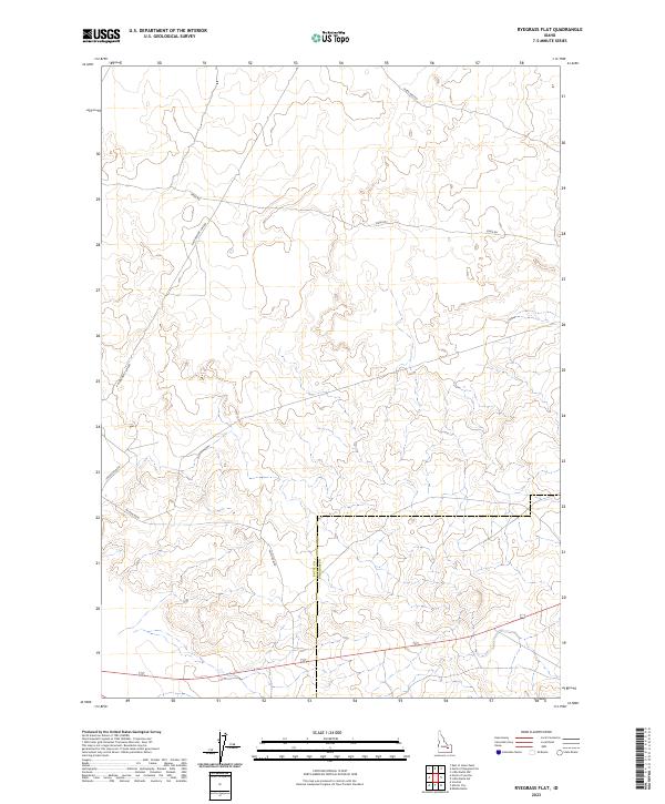
1973 Ryegrass Flat
Butte County, ID
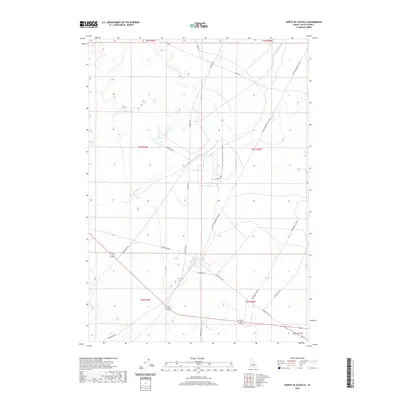
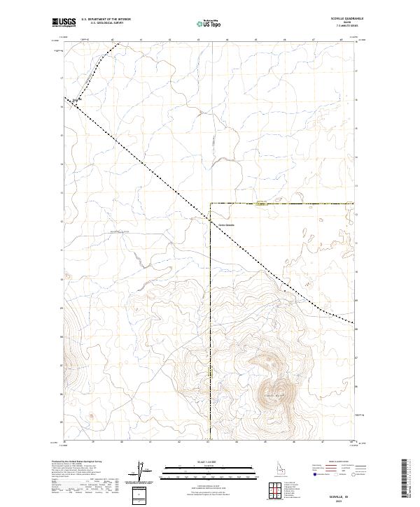
1973 Scoville
Butte County, ID
1973 The Watchman
Butte County, ID
1987 Badger Creek
Butte County, ID
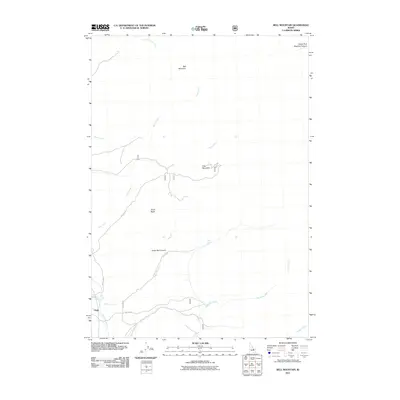
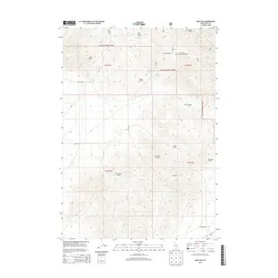
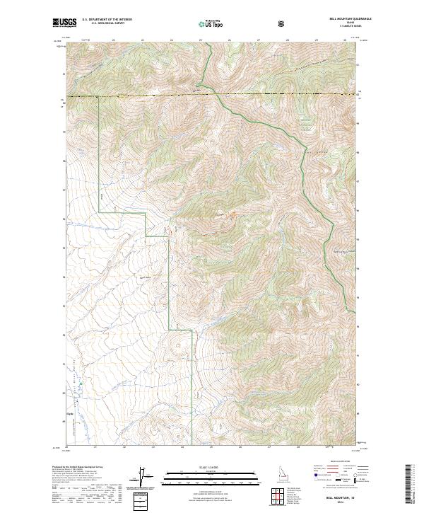
1987 Bell Mountain
Butte County, ID
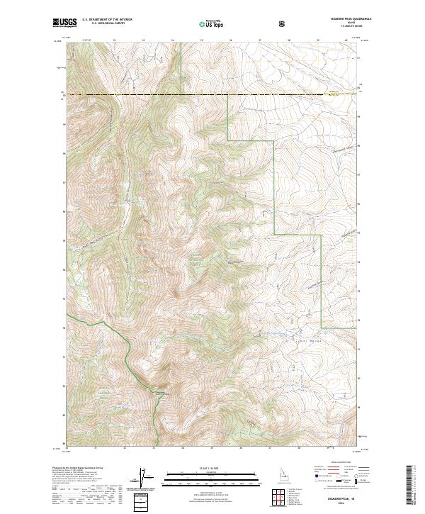
1987 Diamond Peak
Butte County, ID
1987 Fallert Springs
Butte County, ID
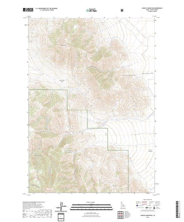
1987 Hawley Mountain
Butte County, ID
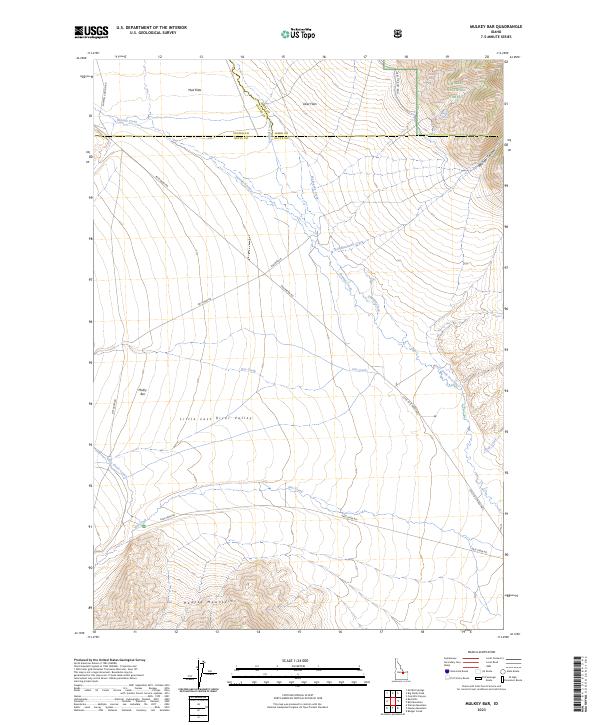
1987 Mulkey Bar
Butte County, ID
1991 Blizzard Mountain North
Butte County, ID
1991 Champagne Creek
Butte County, ID
1991 Grouse
Butte County, ID
2010 Appendicitis Hill
Butte County, ID
2010 Arco Hills SE
Butte County, ID
2010 Arco South
Butte County, ID
2010 Big Lost River Sinks
Butte County, ID
2010 Big Southern Butte
Butte County, ID
2010 Circular Butte
Butte County, ID
2010 East of Howe Peak
Butte County, ID
2010 Grouse
Butte County, ID
2010 Inferno Cone
Butte County, ID
2010 Little Butte NW
Butte County, ID
2010 Little Lost River Sinks
Butte County, ID
2010 Nichols Reservoir
Butte County, ID
2010 North of Ryegrass Flat
Butte County, ID
2010 North of Scoville
Butte County, ID
2010 Pratt Butte
Butte County, ID
2010 Quaking Aspen Butte
Butte County, ID
2010 Richard Butte
Butte County, ID
2010 Ryegrass Flat
Butte County, ID
2010 Scoville
Butte County, ID
2010 Serviceberry Butte
Butte County, ID
2011 Arco Hills
Butte County, ID
2011 Arco North
Butte County, ID
2011 Arco Pass
Butte County, ID
2011 Badger Creek
Butte County, ID
2011 Bell Mountain
Butte County, ID
2011 Blizzard Mountain North
Butte County, ID
2011 Champagne Creek
Butte County, ID
2011 Diamond Peak
Butte County, ID
2011 Fallert Springs
Butte County, ID
2011 Fingers Butte
Butte County, ID
2011 Hawley Mountain
Butte County, ID
2011 Howe
Butte County, ID
2011 Howe NE
Butte County, ID
2011 Howe NW
Butte County, ID
2011 Howe Peak
Butte County, ID
2011 Methodist Creek
Butte County, ID
2011 Mulkey Bar
Butte County, ID
2011 Ramshorn Canyon
Butte County, ID
2011 Sunset Lake
Butte County, ID
2011 Sunset Peak
Butte County, ID
2011 The Watchman
Butte County, ID
2011 Tyler Peak
Butte County, ID
2013 Appendicitis Hill
Butte County, ID
2013 Arco Hills
Butte County, ID
2013 Arco Hills SE
Butte County, ID
2013 Arco North
Butte County, ID
2013 Arco Pass
Butte County, ID
2013 Arco South
Butte County, ID
2013 Badger Creek
Butte County, ID
2013 Bell Mountain
Butte County, ID
2013 Big Lost River Sinks
Butte County, ID
2013 Big Southern Butte
Butte County, ID
2013 Blizzard Mountain North
Butte County, ID
2013 Champagne Creek
Butte County, ID
2013 Circular Butte
Butte County, ID
2013 Diamond Peak
Butte County, ID
2013 East of Howe Peak
Butte County, ID
2013 Fallert Springs
Butte County, ID
2013 Fingers Butte
Butte County, ID
2013 Grouse
Butte County, ID
2013 Hawley Mountain
Butte County, ID
2013 Howe
Butte County, ID
2013 Howe NE
Butte County, ID
2013 Howe NW
Butte County, ID
2013 Howe Peak
Butte County, ID
2013 Inferno Cone
Butte County, ID
2013 Little Butte NW
Butte County, ID
2013 Little Lost River Sinks
Butte County, ID
2013 Methodist Creek
Butte County, ID
2013 Mulkey Bar
Butte County, ID

2013 Nichols Reservoir
Butte County, ID
2013 North of Ryegrass Flat
Butte County, ID
2013 North of Scoville
Butte County, ID
2013 Pratt Butte
Butte County, ID
2013 Quaking Aspen Butte
Butte County, ID
2013 Ramshorn Canyon
Butte County, ID
2013 Richard Butte
Butte County, ID
2013 Ryegrass Flat
Butte County, ID
2013 Scoville
Butte County, ID
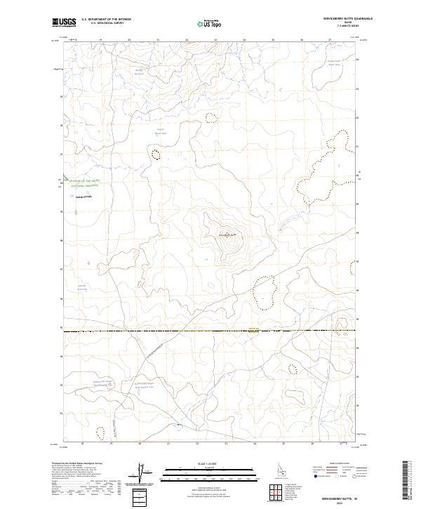
2013 Serviceberry Butte
Butte County, ID
2013 Sunset Lake
Butte County, ID
2013 Sunset Peak
Butte County, ID
2013 The Watchman
Butte County, ID
2013 Tyler Peak
Butte County, ID
2017 Appendicitis Hill
Butte County, ID
2017 Arco Hills
Butte County, ID
2017 Arco Hills SE
Butte County, ID
2017 Arco North
Butte County, ID
2017 Arco Pass
Butte County, ID
2017 Arco South
Butte County, ID
2017 Badger Creek
Butte County, ID
2017 Bell Mountain
Butte County, ID
2017 Big Lost River Sinks
Butte County, ID
2017 Big Southern Butte
Butte County, ID
2017 Blizzard Mountain North
Butte County, ID
2017 Champagne Creek
Butte County, ID
2017 Circular Butte
Butte County, ID
2017 Diamond Peak
Butte County, ID
2017 East of Howe Peak
Butte County, ID
2017 Fallert Springs
Butte County, ID
2017 Fingers Butte
Butte County, ID
2017 Grouse
Butte County, ID
2017 Hawley Mountain
Butte County, ID
2017 Howe
Butte County, ID
2017 Howe NE
Butte County, ID
2017 Howe NW
Butte County, ID
2017 Howe Peak
Butte County, ID
2017 Inferno Cone
Butte County, ID
2017 Little Butte NW
Butte County, ID
2017 Little Lost River Sinks
Butte County, ID
2017 Methodist Creek
Butte County, ID
2017 Mulkey Bar
Butte County, ID
2017 Nichols Reservoir
Butte County, ID
2017 North of Ryegrass Flat
Butte County, ID
2017 North of Scoville
Butte County, ID
2017 Pratt Butte
Butte County, ID
2017 Quaking Aspen Butte
Butte County, ID
2017 Ramshorn Canyon
Butte County, ID
2017 Richard Butte
Butte County, ID
2017 Ryegrass Flat
Butte County, ID
2017 Scoville
Butte County, ID
2017 Serviceberry Butte
Butte County, ID
2017 Sunset Lake
Butte County, ID
2017 Sunset Peak
Butte County, ID
2017 The Watchman
Butte County, ID
2017 Tyler Peak
Butte County, ID
2020 Appendicitis Hill
Butte County, ID
2020 Arco Hills
Butte County, ID
2020 Arco Hills SE
Butte County, ID
2020 Arco North
Butte County, ID
2020 Arco Pass
Butte County, ID
2020 Arco South
Butte County, ID
2020 Badger Creek
Butte County, ID
2020 Bell Mountain
Butte County, ID
2020 Big Lost River Sinks
Butte County, ID
2020 Big Southern Butte
Butte County, ID
2020 Blizzard Mountain North
Butte County, ID
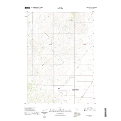
2020 Champagne Creek
Butte County, ID
2020 Circular Butte
Butte County, ID
2020 Diamond Peak
Butte County, ID
2020 East of Howe Peak
Butte County, ID
2020 Fallert Springs
Butte County, ID
2020 Fingers Butte
Butte County, ID
2020 Grouse
Butte County, ID
2020 Hawley Mountain
Butte County, ID
2020 Howe
Butte County, ID
2020 Howe NE
Butte County, ID
2020 Howe NW
Butte County, ID
2020 Howe Peak
Butte County, ID
2020 Inferno Cone
Butte County, ID
2020 Little Butte NW
Butte County, ID
2020 Little Lost River Sinks
Butte County, ID
2020 Methodist Creek
Butte County, ID
2020 Mulkey Bar
Butte County, ID
2020 Nichols Reservoir
Butte County, ID
2020 North of Ryegrass Flat
Butte County, ID
2020 North of Scoville
Butte County, ID
2020 Pratt Butte
Butte County, ID
2020 Quaking Aspen Butte
Butte County, ID
2020 Ramshorn Canyon
Butte County, ID
2020 Richard Butte
Butte County, ID
2020 Ryegrass Flat
Butte County, ID
2020 Scoville
Butte County, ID
2020 Serviceberry Butte
Butte County, ID
2020 Sunset Lake
Butte County, ID
2020 Sunset Peak
Butte County, ID
2020 The Watchman
Butte County, ID
2020 Tyler Peak
Butte County, ID
2023 Appendicitis Hill
Butte County, ID
2023 Arco Hills
Butte County, ID
2023 Arco Hills SE
Butte County, ID
2023 Arco North
Butte County, ID
2023 Arco Pass
Butte County, ID
2023 Arco South
Butte County, ID
2023 Big Southern Butte
Butte County, ID
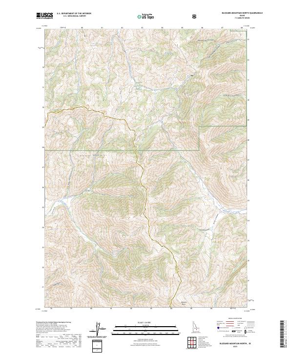
2023 Blizzard Mountain North
Butte County, ID
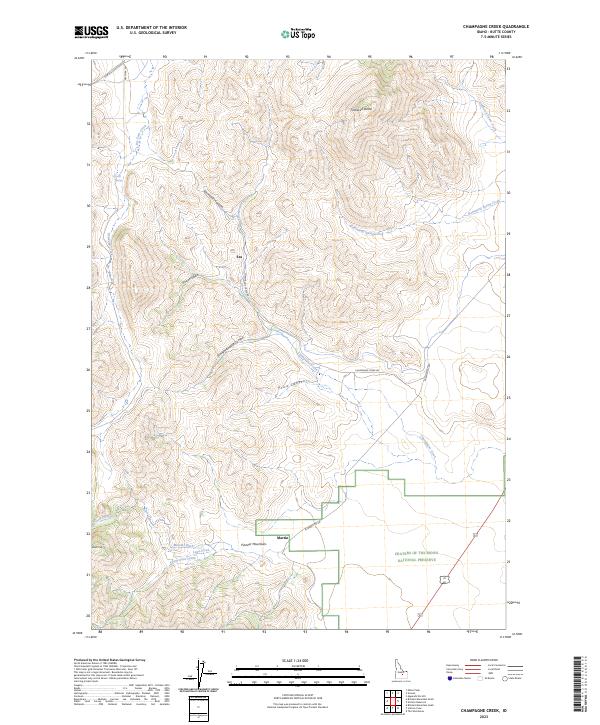
2023 Champagne Creek
Butte County, ID
2023 Circular Butte
Butte County, ID
2023 East of Howe Peak
Butte County, ID
2023 Fallert Springs
Butte County, ID
2023 Fingers Butte
Butte County, ID
2023 Grouse
Butte County, ID
2023 Howe
Butte County, ID
2023 Howe NE
Butte County, ID
2023 Little Butte NW
Butte County, ID
2023 Little Lost River Sinks
Butte County, ID
2023 Methodist Creek
Butte County, ID
2023 Mulkey Bar
Butte County, ID
2023 Nichols Reservoir
Butte County, ID
2023 North of Ryegrass Flat
Butte County, ID
2023 North of Scoville
Butte County, ID
2023 Pratt Butte
Butte County, ID
2023 Quaking Aspen Butte
Butte County, ID
2023 Ramshorn Canyon
Butte County, ID
2023 Richard Butte
Butte County, ID
2023 Ryegrass Flat
Butte County, ID
2023 Scoville
Butte County, ID
2023 Serviceberry Butte
Butte County, ID
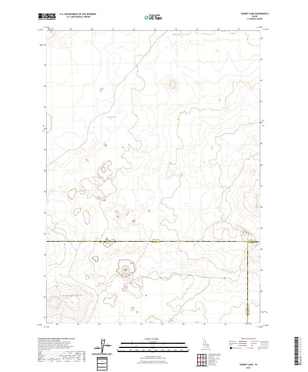
2023 Sunset Lake
Butte County, ID
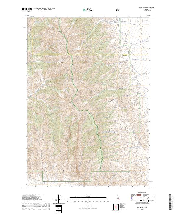
2023 Tyler Peak
Butte County, ID
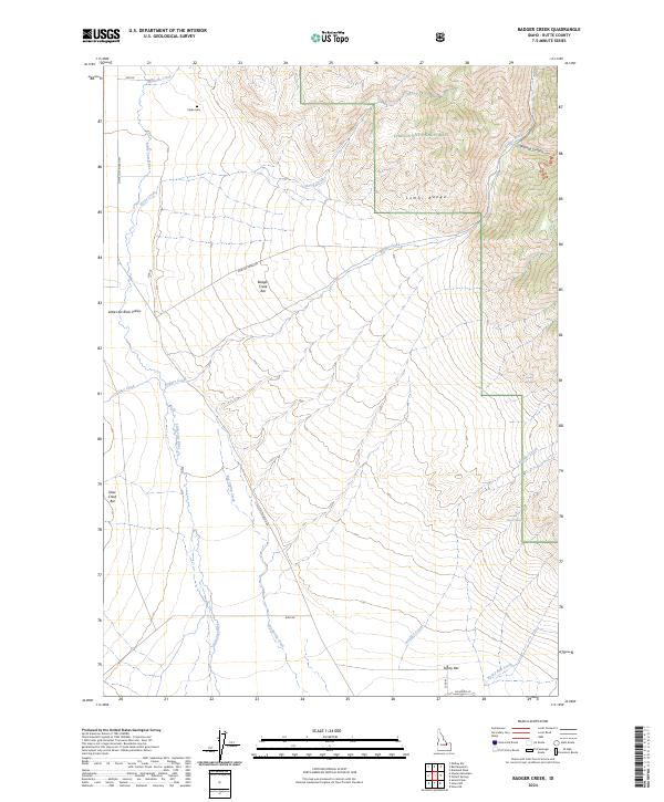
2024 Badger Creek
Butte County, ID
2024 Bell Mountain
Butte County, ID
2024 Big Lost River Sinks
Butte County, ID
2024 Diamond Peak
Butte County, ID
2024 Hawley Mountain
Butte County, ID
2024 Howe NW
Butte County, ID
2024 Howe Peak
Butte County, ID
2024 Inferno Cone
Butte County, ID
2024 Sunset Peak
Butte County, ID
2024 The Watchman
Butte County, ID