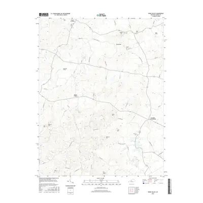
2016 Map of Howe Valley
USGS Topo · Published 2016About this map
Perryville and Howe Valley anchor this portion of Hardin County, where the landscape is defined by its karst-like topography and a dense network of family-named cemeteries and springs. The headwaters of the Rough River are fed by numerous subterranean sources including Head of Rough Spring, Turtle Spring, and Roaring Spring. Genealogists will find a wealth of local history in the distribution of family burial grounds such as Mays Grove Cem and Wheatley Cem, which are scattered among prominent terrain features like The Hogback and Wilmoth Hill. Transportation routes like Nacke Pike and Yates Chapel Rd connect the smaller hubs of Franklin Cross Roads and Dranes, illustrating the enduring rural settlement patterns of central Kentucky. Distinctive landforms such as Cow Cliff and Buzzard Cliff stand over the southern valleys, providing landmarks for this geographically complex region.
Find a feature on this map
65 named features on this map. Tap any name to fly to it.
Don’t see what you’re looking for? This feature index may not catch every label — zoom into the map to look around manually.
Map Details
Editions of this 2016 Howe Valley Map
This is the sole edition of this map. No revisions or reprints were ever made.
Other maps of this area

1932 · Big Clifty
USGS Topo · 1:62,500

1935 · Elizabethtown
USGS Topo · 1:48,000

1936 · Vine Grove
USGS Topo · 1:62,500

1938 · Elizabethtown
USGS Topo · 1:62,500

1941 · Ekron
USGS Topo · 1:62,500

1943 · Vine Grove
USGS Topo · 1:62,500

1946 · Vine Grove
USGS Topo · 1:24,000

1946 · Vine Grove
USGS Topo · 1:62,500

1947 · Ekron
USGS Topo · 1:62,500
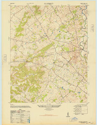
1948 · Flaherty
USGS Topo · 1:24,000