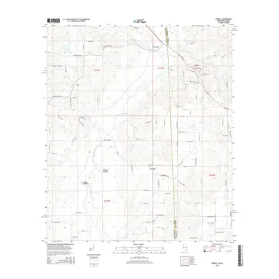
2015 Map of Howell
USGS Topo · Published 2015About this map
The Escatawpa River winds through the borderlands between Mississippi and Alabama, defining the geography of this rural 2015 landscape. Small, scattered settlements like Howell and Latonia dot the terrain, linked by timber-country roads such as the Shipman Firetower Rd and Agricola Latonia Rd. The river's influence is evident in the naming of riverfront points like Waters Landing and Dean Landing, as well as the Howell Bridge crossing. Local family and community history is preserved through a high density of small burial grounds, including Moffet Cem, Howell Cem, and Midway Cem. This survey captures the region as a network of creek drainages, such as Red Cr and Flat Cr, which shaped the placement of farms and small hamlets near the state line.
Find a feature on this map
97 named features on this map. Tap any name to fly to it.
Don’t see what you’re looking for? This feature index may not catch every label — zoom into the map to look around manually.
Map Details
Editions of this 2015 Howell Map
This is the sole edition of this map. No revisions or reprints were ever made.
Other maps of this area

1941 · Hurley
USGS Topo · 1:62,500

1941 · Vancleave
USGS Topo · 1:62,500

1941 · Lucedale
USGS Topo · 1:62,500

1942 · Wilmer
USGS Topo · 1:62,500

1943 · Lucedale
USGS Topo · 1:62,500

1943 · Hurley
USGS Topo · 1:62,500

1943 · Vancleave
USGS Topo · 1:62,500

1944 · Wilmer
USGS Topo · 1:62,500

1944 · Vancleave
USGS Topo · 1:62,500

1953 · Mobile
USGS Topo · 1:250,000