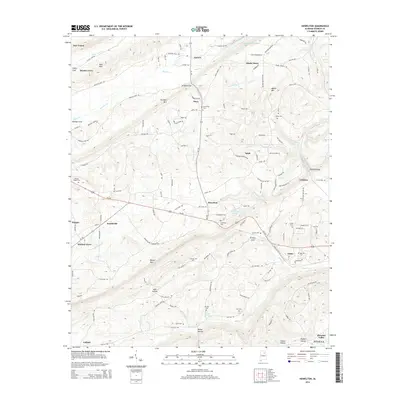
2014 Map of Howelton
USGS Topo · Published 2014About this map
Red Mountain and the parallel ridges of Straight Mountain and Blount Mountain define the topography of this Etowah County landscape. The map illustrates a rural network of small communities and family-named homesteads connected by winding valley roads. Settlements like Howelton and Walnut Grove serve as local hubs, while smaller nodes such as Harrisville and Littleton are scattered throughout the valleys.
Find a feature on this map
118 named features on this map. Tap any name to fly to it.
Don’t see what you’re looking for? This feature index may not catch every label — zoom into the map to look around manually.
Map Details
Editions of this 2014 Howelton Map
This is the sole edition of this map. No revisions or reprints were ever made.
Other maps of this area

1885 · Gadsden
USGS Topo · 1:125,000

1888 · Gadsden
USGS Topo · 1:125,000

1889 · Springville
USGS Topo · 1:125,000

1892 · Springville
USGS Topo · 1:125,000

1892 · Gadsden
USGS Topo · 1:125,000

1895 · Gadsden
USGS Topo · 1:125,000

1903 · Gadsden
USGS Topo · 1:125,000

1936 · Mountainboro
USGS Topo · 1:24,000

1936 · Rodentown
USGS Topo · 1:24,000

1936 · High Point
USGS Topo · 1:24,000