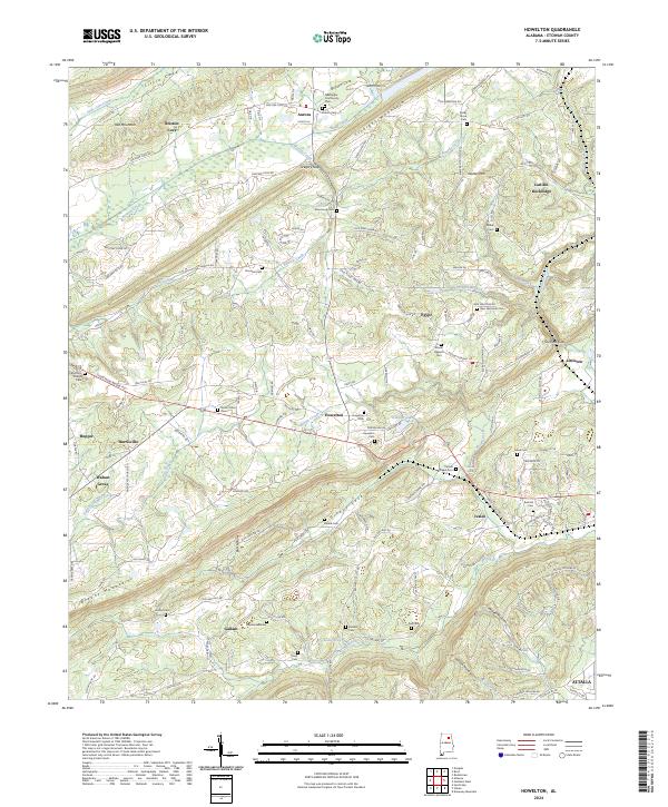
2024 Map of Howelton
USGS Topo · Published 2024About this map
Straight Mountain and Red Mountain dominate the terrain of northern Etowah County, creating a series of parallel valleys such as Bristow Cove and Greasy Cove. The settlement pattern here is characterized by small, dispersed communities like Aurora, Gallant, and Howelton, each situated along the narrow lowland strips between these significant ridges. For genealogists, the map is a dense record of family and community heritage, featuring numerous small burial grounds such as Morton's Chapel Cem, Carnes Chapel Cem, and Brasher Cem. Natural landmarks like Brasher Spring and Shahan Spring indicate the essential water sources that sustained these early agricultural settlements. The convergence of numerous named creeks including Bristow Creek and Clear Creek further defines the geography of this rural Alabama landscape, where topography dictated the placement of roads like Bristow Cove Rd and Old Mink Farm Rd.
Find a feature on this map
151 named features on this map. Tap any name to fly to it.
Don’t see what you’re looking for? This feature index may not catch every label — zoom into the map to look around manually.
Map Details
Editions of this 2024 Howelton Map
This is the sole edition of this map. No revisions or reprints were ever made.
Other maps of this area

1885 · Gadsden
USGS Topo · 1:125,000

1888 · Gadsden
USGS Topo · 1:125,000

1889 · Springville
USGS Topo · 1:125,000

1892 · Springville
USGS Topo · 1:125,000

1892 · Gadsden
USGS Topo · 1:125,000

1895 · Gadsden
USGS Topo · 1:125,000

1903 · Gadsden
USGS Topo · 1:125,000

1936 · Mountainboro
USGS Topo · 1:24,000

1936 · Rodentown
USGS Topo · 1:24,000

1936 · High Point
USGS Topo · 1:24,000