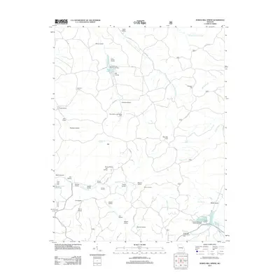
2012 Map of Howes Mill Spring
USGS Topo · Published 2012About this map
The settlement of Ark and the expansive Indian Trail State Forest define the landscape of Dent County on this 2012 survey. The area is characterized by a dense network of hollows—including Onion Hollow, Plank Hollow, and Mounce Hollow—which direct the drainage of the Middle Prong Crooked Creek and Hutchins Creek. Local history is preserved in numerous family burial grounds such as Hutson-Walker Cemetery and Hughes Cemetery, reflecting generations of residence in these wooded valleys.
Find a feature on this map
63 named features on this map. Tap any name to fly to it.
Don’t see what you’re looking for? This feature index may not catch every label — zoom into the map to look around manually.
Map Details
Editions of this 2012 Howes Mill Spring Map
This is the sole edition of this map. No revisions or reprints were ever made.
Other maps of this area

1932 · Steelville
USGS Topo · 1:48,000

1933 · Steelville
USGS Topo · 1:62,500

1937 · Steelville
USGS Topo · 1:62,500

1941 · Stone Hill
USGS Topo · 1:62,500

1943 · Berryman
USGS Topo · 1:62,500

1943 · Boss
USGS Topo · 1:62,500

1945 · Stone Hill
USGS Topo · 1:62,500

1945 · Berryman
USGS Topo · 1:62,500

1946 · Boss
USGS Topo · 1:62,500

1949 · Rolla
USGS Topo · 1:250,000