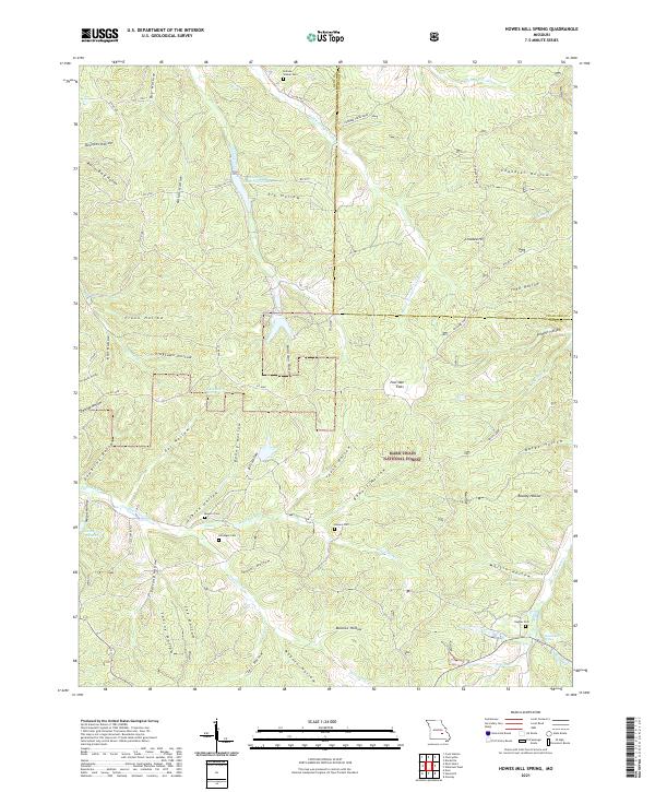
2021 Map of Howes Mill Spring
USGS Topo · Published 2021About this map
Howes Mill Spring and the surrounding woodlands of the Mark Twain National Forest define this Missouri landscape near the Dent and Crawford county line. The map reveals a deeply dissected terrain characterized by named hollows such as Plank Hollow and Plugtown Hollow, where small family cemeteries like Hutson-Walker Cem and Kittenger Cem are tucked into the valleys. These burial sites, along with others such as Mounce Cem and Hughes Cem, serve as primary records of the area's rural genealogy and early settlement patterns.
Find a feature on this map
71 named features on this map. Tap any name to fly to it.
Don’t see what you’re looking for? This feature index may not catch every label — zoom into the map to look around manually.
Map Details
Editions of this 2021 Howes Mill Spring Map
This is the sole edition of this map. No revisions or reprints were ever made.
Other maps of this area

1932 · Steelville
USGS Topo · 1:48,000

1933 · Steelville
USGS Topo · 1:62,500

1937 · Steelville
USGS Topo · 1:62,500

1941 · Stone Hill
USGS Topo · 1:62,500

1943 · Berryman
USGS Topo · 1:62,500

1943 · Boss
USGS Topo · 1:62,500

1945 · Stone Hill
USGS Topo · 1:62,500

1945 · Berryman
USGS Topo · 1:62,500

1946 · Boss
USGS Topo · 1:62,500

1949 · Rolla
USGS Topo · 1:250,000