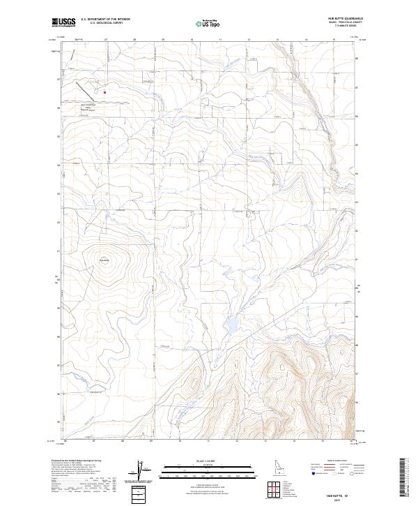
2023 Map of Hub Butte
USGS Topo · Published 2023About this map
Joslin Field/Magic Valley Regional Airport anchors the northwestern corner of this landscape, reflecting the modern infrastructure of the Snake River Plain in Twin Falls County. The map details an extensive irrigation network essential to the region's agricultural character, including the High Line North Canal, Low Line Canal, Main Canal, and Lateral Number 17. These man-made waterways contrast with the natural drainage patterns of Rock Creek and Cottonwood Creek as they wind through the volcanic terrain.
Find a feature on this map
41 named features on this map. Tap any name to fly to it.
Don’t see what you’re looking for? This feature index may not catch every label — zoom into the map to look around manually.
Map Details
Editions of this 2023 Hub Butte Map
This is the sole edition of this map. No revisions or reprints were ever made.
Other maps of this area

1950 · Filer
USGS Topo · 1:24,000

1950 · Jerome
USGS Topo · 1:62,500

1955 · Twin Falls
USGS Topo · 1:250,000

1958 · Twin Falls
USGS Topo · 1:250,000

1964 · Kimberly
USGS Topo · 1:24,000

1964 · Twin Falls
USGS Topo · 1:24,000

1965 · Hollister
USGS Topo · 1:24,000

1965 · Stricker Butte
USGS Topo · 1:24,000

1965 · Berger
USGS Topo · 1:24,000

1965 · Grand View Peak
USGS Topo · 1:24,000