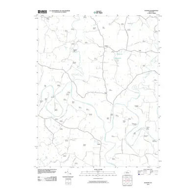
2010 Map of Hudgins
USGS Topo · Published 2010About this map
The Green River carves a winding path through the center of this Green County landscape, creating dramatic bends such as Figett Bend and Charlie Rhea Bend. Small rural settlements like Powder Mill, Hudgins, Lobb, and Eve are connected by a network of local roads that follow the ridges and valleys. The map is particularly notable for its dense concentration of family cemeteries, such as the Jaggers Cemetery, Whitlow Cemetery, and Rountree Cemetery, which provide a detailed record of the area's ancestral residents. The confluence of the Little Barren River with the Green River defines the southern reaches, where the terrain rises toward heights like Maxey Knob and Akin Knob. Distinctive water features like Three Hundred Springs and Dobson Pond appear alongside river landmarks such as The Narrows and Armour Island, illustrating the complex hydrology of this part of Kentucky.
Find a feature on this map
99 named features on this map. Tap any name to fly to it.
Don’t see what you’re looking for? This feature index may not catch every label — zoom into the map to look around manually.
Map Details
Editions of this 2010 Hudgins Map
This is the sole edition of this map. No revisions or reprints were ever made.
Other maps of this area

1934 · Munfordville
USGS Topo · 1:48,000

1935 · Horse Cave
USGS Topo · 1:48,000

1937 · Munfordville
USGS Topo · 1:62,500

1938 · Horse Cave
USGS Topo · 1:62,500

1953 · Hudgins
USGS Topo · 1:24,000

1953 · Hibernia
USGS Topo · 1:24,000

1953 · Summersville
USGS Topo · 1:24,000

1953 · Exie
USGS Topo · 1:24,000

1953 · Magnolia
USGS Topo · 1:24,000

1953 · Center
USGS Topo · 1:24,000