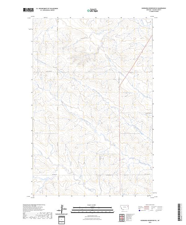
2024 Map of Hudiburgh Reservoir SE
USGS Topo · Published 2024About this map
North Fork Buffalo Creek and South Fork Buffalo Creek carve a series of drainage networks through this McCone County landscape, illustrating the intricate hydrography that dictates the local road patterns. The terrain is structured by a grid of rural routes that follow both section lines and natural contours, including the prominent North Rd and Spring Rd. A network of smaller ways such as W Farm Loop and Buffalo Creek Rd connect isolated points across the drainages of Spring Creek and Lost Creek. This survey captures the specialized infrastructure of a ranching or farming region, where the placement of Lost Creek Rd and E Lost Creek Rd reflects the necessity of navigating between the high divides and the watercourses that define the eastern Montana prairie.
Find a feature on this map
18 named features on this map. Tap any name to fly to it.
Don’t see what you’re looking for? This feature index may not catch every label — zoom into the map to look around manually.
Map Details
Editions of this 2024 Hudiburgh Reservoir SE Map
This is the sole edition of this map. No revisions or reprints were ever made.
Other maps of this area

1954 · Glendive
USGS Topo · 1:250,000

1957 · Glendive
USGS Topo · 1:250,000

1958 · Glendive
USGS Topo · 1:250,000

1982 · Circle
USGS Topo · 1:100,000

1983 · Youngquist Mine
USGS Topo · 1:24,000

1983 · Haynie Reservoir
USGS Topo · 1:24,000

1983 · Hudiburgh Reservoir
USGS Topo · 1:24,000

1983 · Woodworth Hill
USGS Topo · 1:24,000

1983 · Hudiburgh Reservoir NW
USGS Topo · 1:24,000

1983 · Buffalo Creek
USGS Topo · 1:24,000