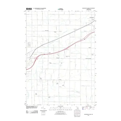
2011 Map of Hudsonville West
USGS Topo · Published 2011About this map
Agricultural roots and Dutch-American heritage define the landscape west of Hudsonville in this 2011 survey. The terrain is marked by a dense network of family and community burial grounds, including the Old Drenthe Cemetery, West Drenthe Cemetery, and East Drenthe Cemetery, reflecting the settlement patterns of several historic unincorporated communities. These small clusters of residency, such as Vriesland, Beaverdam, and Zutphen, are connected by a rigid grid of section-line roads like New Holland St and Quincy St.
Find a feature on this map
43 named features on this map. Tap any name to fly to it.
Don’t see what you’re looking for? This feature index may not catch every label — zoom into the map to look around manually.
Map Details
Editions of this 2011 Hudsonville West Map
This is the sole edition of this map. No revisions or reprints were ever made.
Other maps of this area

1928 · Fennville
USGS Topo · 1:62,500

1929 · Holland
USGS Topo · 1:62,500

1931 · Fennville
USGS Topo · 1:62,500

1932 · Holland
USGS Topo · 1:62,500

1958 · Allendale
USGS Topo · 1:24,000

1958 · Allegan
USGS Topo · 1:62,500

1958 · Grandville
USGS Topo · 1:62,500

1958 · Grandville
USGS Topo · 1:24,000

1958 · Racine
USGS Topo · 1:250,000

1958 · Grand Rapids
USGS Topo · 1:250,000