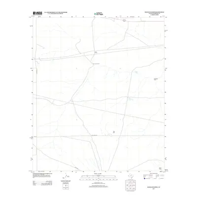
2013 Map of Hueco Station
USGS Topo · Published 2013About this map
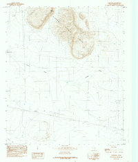
Hueco Station sits as a central point of reference in this arid Hudspeth County landscape, where the distribution of water infrastructure reveals the necessities of ranching in West Texas. The map documents a network of critical water sources, from the evocatively named Last Chance Windmill to several livestock ponds including Pretty Soon Tank, Holly Tank, and Cascajo Tank. This collection of man-made and natural features illustrates the careful management of a desert environment where seasonal drainages like Miller Draw and Antelope Gulch shape the topography.
Find a feature on this map
14 named features on this map. Tap any name to fly to it.
Don’t see what you’re looking for? This feature index may not catch every label — zoom into the map to look around manually.
Map Details
Editions of this 2013 Hueco Station Map
This is the sole edition of this map. No revisions or reprints were ever made.
Other maps of this area

1951 · Dell City
USGS Topo · 1:62,500

1951 · Red Hills
USGS Topo · 1:62,500

1954 · Van Horn
USGS Topo · 1:250,000

1955 · Cerro Diablo
USGS Topo · 1:62,500

1955 · Black Mountains
USGS Topo · 1:62,500

1958 · Van Horn
USGS Topo · 1:250,000
1984 · Baylor Draw
USGS Topo · 1:24,000
1984 · Mickey Draw West
USGS Topo · 1:24,000
1984 · Black Mountains NW
USGS Topo · 1:24,000
1984 · Cornudas
USGS Topo · 1:24,000