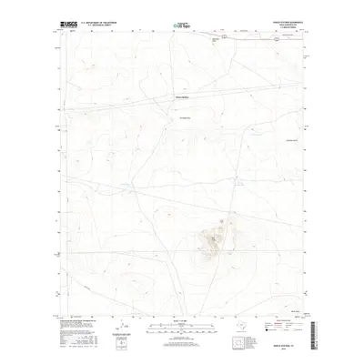
2016 Map of Hueco Station
USGS Topo · Published 2016About this map
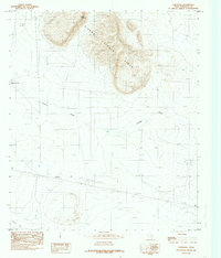
Hueco Station serves as the primary landmark in this high-desert landscape of Hudspeth County, where water management is the defining feature of human settlement. The map reveals an intricate system of earth-berm water catchments with evocative local names such as Pretty Soon Tank, Holly Tank, and Cascajo Tank, reflecting the essential nature of water storage in this arid environment. These features, along with the larger Twenty Tank to the south, supported ranching operations across the terrain.
Find a feature on this map
13 named features on this map. Tap any name to fly to it.
Don’t see what you’re looking for? This feature index may not catch every label — zoom into the map to look around manually.
Map Details
Editions of this 2016 Hueco Station Map
This is the sole edition of this map. No revisions or reprints were ever made.
Other maps of this area

1951 · Dell City
USGS Topo · 1:62,500

1951 · Red Hills
USGS Topo · 1:62,500

1954 · Van Horn
USGS Topo · 1:250,000

1955 · Cerro Diablo
USGS Topo · 1:62,500

1955 · Black Mountains
USGS Topo · 1:62,500

1958 · Van Horn
USGS Topo · 1:250,000
1984 · Baylor Draw
USGS Topo · 1:24,000
1984 · Mickey Draw West
USGS Topo · 1:24,000
1984 · Black Mountains NW
USGS Topo · 1:24,000
1984 · Cornudas
USGS Topo · 1:24,000