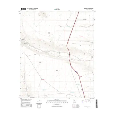
2017 Map of Huerfano Hill
USGS Topo · Published 2017About this map
Alamosa Creek carves a deep path across this high desert landscape, serving as a primary drainage corridor north of Truth or Consequences. This arid terrain is defined by a network of seasonal water catchments such as Mn Chavez Reservoir Number 1 and the Cuchillo Community Allotment Reservoir, which supported the region's livestock interests and ranching life. The topographic relief is marked by prominent elevations like Huerfano Hill and the Sierras Mediano, while numerous canyons, including Questa Blanca Canyon and Mitchell Canyon, reveal the complex geological erosion of the Sierra County plateau. Local transit is facilitated by a grid of ranch and county roads, including Cattleman Rd and Martin Ranch Rd, which connect remote tanks and draws like Holding Trap Tank Number 2 and Aragon Wash.
Find a feature on this map
36 named features on this map. Tap any name to fly to it.
Don’t see what you’re looking for? This feature index may not catch every label — zoom into the map to look around manually.
Map Details
Editions of this 2017 Huerfano Hill Map
This is the sole edition of this map. No revisions or reprints were ever made.
Other maps of this area

1954 · Tularosa
USGS Topo · 1:250,000

1958 · Tularosa
USGS Topo · 1:250,000

1958 · Elephant Butte
USGS Topo · 1:24,000

1959 · Engle
USGS Topo · 1:62,500

1961 · Priest Tank
USGS Topo · 1:24,000

1961 · Huerfano Hill
USGS Topo · 1:24,000

1961 · Sierra Fijardo
USGS Topo · 1:24,000

1961 · Black Bluffs
USGS Topo · 1:24,000

1961 · Williamsburg NW
USGS Topo · 1:24,000

1961 · Monticello
USGS Topo · 1:24,000