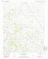
1966 Map of Huerfano Trading Post NW
USGS Topo · Published 1985About this map
Gallegos Canyon defines the drainage patterns of this high-desert landscape in San Juan County. In the mid-1960s, this area was increasingly defined by the extraction of natural resources, centered on the Bisti Oil Field. The map records a dense network of industrial infrastructure, specifically numerous Oil Wells and a major Pipeline cutting across the terrain. These developments reflect the mid-century expansion of the energy sector into the San Juan Basin. Aside from these industrial features, the land remains largely undeveloped, showcasing the stark intersection of geological formations and modern petroleum extraction. The surveying reveals how energy production dictated the placement of unimproved roads and survey lines across this arid region.
Find a feature on this map
6 named features on this map. Tap any name to fly to it.
Don’t see what you’re looking for? This feature index may not catch every label — zoom into the map to look around manually.
Map Details
Editions of this 1966 Huerfano Trading Post NW Map
2 editions found
Other maps of this area

1889 · Largo
USGS Topo · 1:250,000

1889 · Chaco
USGS Topo · 1:250,000

1892 · Chaco
USGS Topo · 1:250,000

1895 · Largo
USGS Topo · 1:250,000

1954 · Shiprock
USGS Topo · 1:250,000

1954 · Aztec
USGS Topo · 1:250,000

1958 · Shiprock
USGS Topo · 1:250,000

1958 · Aztec
USGS Topo · 1:250,000

1959 · Shiprock
USGS Topo · 1:250,000

1960 · Bloomfield
USGS Topo · 1:62,500