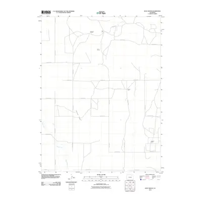
2010 Map of Huey Ranch
USGS Topo · Published 2010About this map
Pleasant Ridge defines the high ground of this eastern Colorado landscape, where the agricultural and energy sectors of Adams County meet. The land is marked by large ranching operations like the Huey Ranch and Redless Ranch, reflecting the area's continued reliance on expansive grazing and dryland farming. Drainage is provided by the winding path of Badger Creek in the southwest, a vital water source in this semi-arid environment.
Find a feature on this map
23 named features on this map. Tap any name to fly to it.
Don’t see what you’re looking for? This feature index may not catch every label — zoom into the map to look around manually.
Map Details
Editions of this 2010 Huey Ranch Map
This is the sole edition of this map. No revisions or reprints were ever made.
Other maps of this area

1954 · Limon
USGS Topo · 1:250,000

1954 · Sterling
USGS Topo · 1:250,000

1957 · Limon
USGS Topo · 1:250,000

1958 · Limon
USGS Topo · 1:250,000

1958 · Sterling
USGS Topo · 1:250,000

1963 · Lamb
USGS Topo · 1:24,000

1963 · Round Top
USGS Topo · 1:24,000

1965 · Gary
USGS Topo · 1:24,000

1965 · Vallery SE
USGS Topo · 1:24,000

1965 · Huey Ranch
USGS Topo · 1:24,000