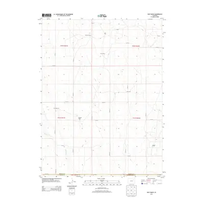
2013 Map of Huey Ranch
USGS Topo · Published 2013About this map
The high plains of eastern Colorado are depicted here at a point where Adams, Morgan, and Washington Counties meet. This landscape is defined by its agricultural infrastructure and water management, with named landmarks like the Toyne Windmill and Windbreak Windmill serving as essential markers across the vast, open terrain. Large ranching operations such as Huey Ranch, Redless Ranch, and Blind Badger Ranch anchor the local economy and geography.
Find a feature on this map
25 named features on this map. Tap any name to fly to it.
Don’t see what you’re looking for? This feature index may not catch every label — zoom into the map to look around manually.
Map Details
Editions of this 2013 Huey Ranch Map
This is the sole edition of this map. No revisions or reprints were ever made.
Other maps of this area

1954 · Limon
USGS Topo · 1:250,000

1954 · Sterling
USGS Topo · 1:250,000

1957 · Limon
USGS Topo · 1:250,000

1958 · Limon
USGS Topo · 1:250,000

1958 · Sterling
USGS Topo · 1:250,000

1963 · Lamb
USGS Topo · 1:24,000

1963 · Round Top
USGS Topo · 1:24,000

1965 · Gary
USGS Topo · 1:24,000

1965 · Vallery SE
USGS Topo · 1:24,000

1965 · Huey Ranch
USGS Topo · 1:24,000