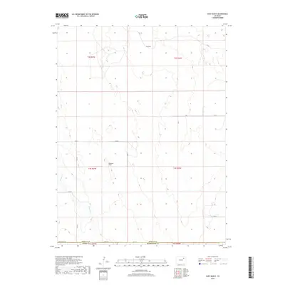
2019 Map of Huey Ranch
USGS Topo · Published 2019About this map
Huey Ranch sits in the high plains at the meeting of Adams, Morgan, and Washington counties. This landscape is defined by the subtle drainage of Badger Cr and the broad elevation of Pleasant Ridge. The map reflects a modern rural framework, where the vast open range is segmented by a precise grid of county roads such as Co RD I and Co RD 22. This layout illustrates the persistence of the Public Land Survey System in organizing agricultural and ranching operations. The transition from Seventeenmile Rd to 168th Ave along the southern border marks the boundary between disparate county jurisdictions, highlighting the administrative edges of the Colorado prairie.
Find a feature on this map
24 named features on this map. Tap any name to fly to it.
Don’t see what you’re looking for? This feature index may not catch every label — zoom into the map to look around manually.
Map Details
Editions of this 2019 Huey Ranch Map
This is the sole edition of this map. No revisions or reprints were ever made.
Other maps of this area

1954 · Limon
USGS Topo · 1:250,000

1954 · Sterling
USGS Topo · 1:250,000

1957 · Limon
USGS Topo · 1:250,000

1958 · Limon
USGS Topo · 1:250,000

1958 · Sterling
USGS Topo · 1:250,000

1963 · Lamb
USGS Topo · 1:24,000

1963 · Round Top
USGS Topo · 1:24,000

1965 · Gary
USGS Topo · 1:24,000

1965 · Vallery SE
USGS Topo · 1:24,000

1965 · Huey Ranch
USGS Topo · 1:24,000