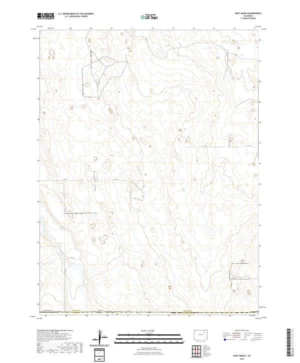
2022 Map of Huey Ranch
USGS Topo · Published 2022About this map
Pleasant Ridge defines the high ground of this eastern Colorado landscape, where the high plains transition into the managed agricultural grids of the modern era. The drainage of Badger Cr meanders through the western sections of the quadrangle, providing a natural focal point in a territory otherwise dominated by the geometric precision of the Public Land Survey System. The map reveals a meticulous network of rural infrastructure, from the prominent Seventeenmile Rd to the various county routes like Co Rd I and Co Rd E that serve the outlying ranch lands. Positioned along the border of Morgan, Adams, and Washington counties, this study illustrates how property boundaries and transportation corridors follow the township and range lines established long before the 21st century.
Find a feature on this map
20 named features on this map. Tap any name to fly to it.
Don’t see what you’re looking for? This feature index may not catch every label — zoom into the map to look around manually.
Map Details
Editions of this 2022 Huey Ranch Map
This is the sole edition of this map. No revisions or reprints were ever made.
Other maps of this area

1954 · Limon
USGS Topo · 1:250,000

1954 · Sterling
USGS Topo · 1:250,000

1957 · Limon
USGS Topo · 1:250,000

1958 · Limon
USGS Topo · 1:250,000

1958 · Sterling
USGS Topo · 1:250,000

1963 · Lamb
USGS Topo · 1:24,000

1963 · Round Top
USGS Topo · 1:24,000

1965 · Gary
USGS Topo · 1:24,000

1965 · Vallery SE
USGS Topo · 1:24,000

1965 · Huey Ranch
USGS Topo · 1:24,000