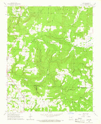
1965 Map of Huff
USGS Topo · Published 1966About this map
Huff and Pleasant Plains anchor this mid-1960s survey of the Arkansas interior, where the borders of Independence, White, and Jackson Counties converge. The landscape is defined by a dense network of watercourses and named ridges, including Salado Mtn and Major Harris Mountain. The settlement pattern follows the drainages of Departee Creek and Salado Creek, with rural life centered around local congregations and burial grounds like Mt Calvary Ch, Cornerstone Ch, and Putman Cem.
Find a feature on this map
50 named features on this map. Tap any name to fly to it.
Don’t see what you’re looking for? This feature index may not catch every label — zoom into the map to look around manually.
Map Details
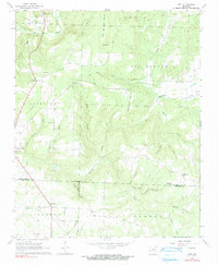
Editions of this 1965 Huff Map
2 editions found
Other maps of this area

1890 · Batesville
USGS Topo · 1:125,000

1891 · Batesville
USGS Topo · 1:125,000

1935 · Newport
USGS Topo · 1:62,500

1935 · Augusta
USGS Topo · 1:62,500

1935 · Bald Knob
USGS Topo · 1:62,500

1942 · Jamestown
USGS Topo · 1:31,680

1942 · Salado
USGS Topo · 1:31,680

1953 · Memphis
USGS Topo · 1:250,000

1956 · Memphis
USGS Topo · 1:250,000
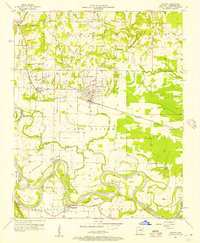
1956 · Newark
USGS Topo · 1:24,000