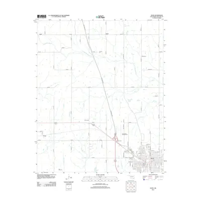
2013 Map of Hugo
USGS Topo · Published 2013About this map
Hugo serves as the regional hub at the southern edge of this study, where an organized street grid meets the modern Indian Nation Tpke S at the Hugo Interchange. The surrounding Choctaw County landscape transitions from the concentrated activity of the city to a network of rural roads and scattered settlements such as Kent, Speer, and Forney. The terrain is defined by a dense drainage system of creeks and branches, including North Fork Long Cr, Hamubby Cr, and Heathcock Br, which carve through the countryside north of the city center.
Find a feature on this map
86 named features on this map. Tap any name to fly to it.
Don’t see what you’re looking for? This feature index may not catch every label — zoom into the map to look around manually.
Map Details
Editions of this 2013 Hugo Map
This is the sole edition of this map. No revisions or reprints were ever made.
Other maps of this area

1901 · Antlers
USGS Topo · 1:125,000

1901 · Alikchi
USGS Topo · 1:125,000

1903 · Paris
USGS Topo · 1:125,000

1912 · Antlers
USGS Topo · 1:125,000

1925 · Antlers
USGS Topo · 1:125,000

1948 · Grant
USGS Topo · 1:62,500

1949 · Grant
USGS Topo · 1:62,500

1950 · Mcalester
USGS Topo · 1:250,000

1951 · Shoals
USGS Topo · 1:24,000

1953 · Texarkana
USGS Topo · 1:250,000