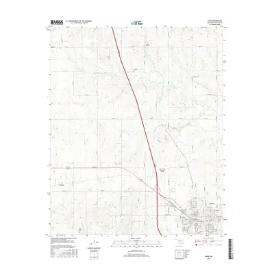
2016 Map of Hugo
USGS Topo · Published 2016About this map
The town of Hugo serves as the focal point for this survey of southeastern Oklahoma, where the street grid of the city meets a network of rural roads and waterways. Significant infrastructure such as the Turnpike and the Stan Stamper Municipal Airport bisects the landscape, providing modern connectivity to the historic settlements of Kent, Speer, and Forney. To the north and west, the terrain is defined by the winding paths of Long Cr and Horse Cr, while Hugo Lake occupies the northeastern reaches. Genealogists will find the locations of Cooksville Cem and Cold Springs Cem particularly useful for tracing local family histories in the area. The map illustrates a transition from the structured urban blocks of the city center to the undulating topography of Choctaw County, shaped by tributaries like Elm Cr and Salt Cr.
Find a feature on this map
102 named features on this map. Tap any name to fly to it.
Don’t see what you’re looking for? This feature index may not catch every label — zoom into the map to look around manually.
Map Details
Editions of this 2016 Hugo Map
This is the sole edition of this map. No revisions or reprints were ever made.
Other maps of this area

1901 · Antlers
USGS Topo · 1:125,000

1901 · Alikchi
USGS Topo · 1:125,000

1903 · Paris
USGS Topo · 1:125,000

1912 · Antlers
USGS Topo · 1:125,000

1925 · Antlers
USGS Topo · 1:125,000

1948 · Grant
USGS Topo · 1:62,500

1949 · Grant
USGS Topo · 1:62,500

1950 · Mcalester
USGS Topo · 1:250,000

1951 · Shoals
USGS Topo · 1:24,000

1953 · Texarkana
USGS Topo · 1:250,000