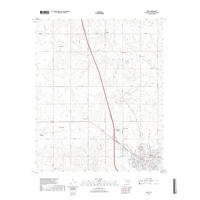
2019 Map of Hugo
USGS Topo · Published 2019About this map
Hugo serves as the regional hub at the southern edge of this Choctaw County landscape, where an organized street grid including W Main St and E Jackson St gives way to the open plains of southeastern Oklahoma. The Indian Nation Tpke bisects the terrain, cutting a modern path toward the Stan Stamper Municipal Airport. Small rural settlements like Speer, Kent, and Cooksville are interspersed among a network of winding waterways, including Hanubby Cr and Horse Cr. The presence of Cold Springs Cem in the southwest corner provides a point of interest for genealogists tracing family roots in the rural areas surrounding Forney. This map illustrates the intersection of mid-twentieth-century infrastructure with the traditional agricultural and water-led geography of the Kiamichi Country region.
Find a feature on this map
60 named features on this map. Tap any name to fly to it.
Don’t see what you’re looking for? This feature index may not catch every label — zoom into the map to look around manually.
Map Details
Editions of this 2019 Hugo Map
This is the sole edition of this map. No revisions or reprints were ever made.
Other maps of this area

1901 · Antlers
USGS Topo · 1:125,000

1901 · Alikchi
USGS Topo · 1:125,000

1903 · Paris
USGS Topo · 1:125,000

1912 · Antlers
USGS Topo · 1:125,000

1925 · Antlers
USGS Topo · 1:125,000

1948 · Grant
USGS Topo · 1:62,500

1949 · Grant
USGS Topo · 1:62,500

1950 · Mcalester
USGS Topo · 1:250,000

1951 · Shoals
USGS Topo · 1:24,000

1953 · Texarkana
USGS Topo · 1:250,000