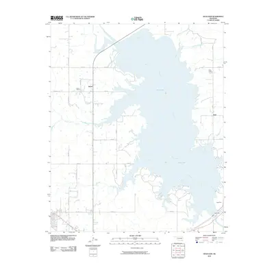
2010 Map of Hugo Dam
USGS Topo · Published 2010About this map
Hugo Lake dominates the central landscape of this Oklahoma survey, where the impounded Kiamichi River branches into numerous winding arms like Salt Creek and Holly Creek. The map documents a rural corridor in Choctaw County characterized by small settlements and family burial grounds that predate the reservoir's full reach. To the west, the community of Messer sits near the Messer Cemetery, while the eastern shore near the settlement of Virgil contains the Dixon Chapel Cemetery and the drainage of Dixon Branch. The engineering of the eponymous Hugo Dam at the southern edge of the lake dictates the local topography, managing the flow from the larger river system into a complex network of creeks. Local roads like Salt Creek Rd and Bill Grant Rd provide access to the rugged shoreline and established agricultural tracts surrounding the water.
Find a feature on this map
33 named features on this map. Tap any name to fly to it.
Don’t see what you’re looking for? This feature index may not catch every label — zoom into the map to look around manually.
Map Details
Editions of this 2010 Hugo Dam Map
This is the sole edition of this map. No revisions or reprints were ever made.
Other maps of this area

1901 · Antlers
USGS Topo · 1:125,000

1901 · Alikchi
USGS Topo · 1:125,000

1903 · Paris
USGS Topo · 1:125,000

1912 · Antlers
USGS Topo · 1:125,000

1925 · Antlers
USGS Topo · 1:125,000

1948 · Grant
USGS Topo · 1:62,500

1949 · Grant
USGS Topo · 1:62,500

1950 · Mcalester
USGS Topo · 1:250,000

1951 · Frogville
USGS Topo · 1:24,000

1951 · Shoals
USGS Topo · 1:24,000