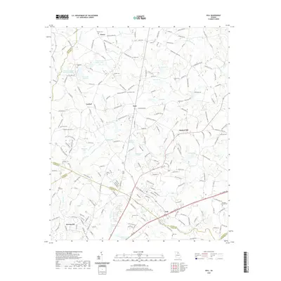
2020 Map of Hull
USGS Topo · Published 2020About this map
The town of Hull and the rural communities of Planter, Neese, and Diamond Hill occupy a landscape where the headwaters of the Oconee River system meet. This area, spanning the borders of Madison, Jackson, and Clarke Counties, is characterized by a dense network of family-named landmarks and cemeteries such as Porterfield Cem and Mount Zion Cem. The map reveals a land structured by its waterways, from the Seagraves Mill Pond near Sanford to the multiple reservoirs that dot the creek valleys.
Find a feature on this map
210 named features on this map. Tap any name to fly to it.
Don’t see what you’re looking for? This feature index may not catch every label — zoom into the map to look around manually.
Map Details
Editions of this 2020 Hull Map
This is the sole edition of this map. No revisions or reprints were ever made.
Other maps of this area

1891 · Carnesville
USGS Topo · 1:125,000

1953 · Athens
USGS Topo · 1:250,000

1954 · Greenville
USGS Topo · 1:250,000

1958 · Greenville
USGS Topo · 1:250,000

1958 · Athens
USGS Topo · 1:250,000

1958 · Danielsville
USGS Topo · 1:62,500

1959 · Athens
USGS Topo · 1:250,000

1963 · Athens
USGS Topo · 1:250,000

1964 · Commerce
USGS Topo · 1:24,000

1964 · Athens West
USGS Topo · 1:24,000