2024 Map of Hull
USGS Topo · Published 2024About this map
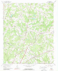
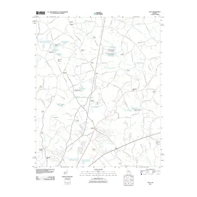
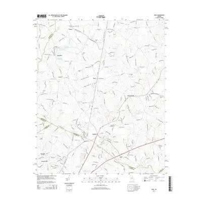
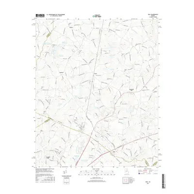
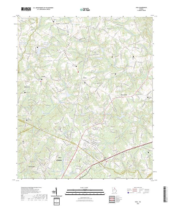
Hull and the surrounding Madison County countryside are defined by a complex network of waterways and small rural settlements. This landscape is shaped by the headwaters of Noketchee Creek and the numerous reservoirs that dot the terrain, including Hunnicutt Lake, Clark Fain Lake, and Lake Seagraves. The distribution of historical cemeteries like Gordons Chapel Cem and Mount Zion Cem suggests long-standing family ties to the land, while places like Seagraves Mill Pond point to the area's early agricultural and industrial heritage.
Find a feature on this map
224 named features on this map. Tap any name to fly to it.
Don’t see what you’re looking for? This feature index may not catch every label — zoom into the map to look around manually.
Map Details
Editions of this 2024 Hull Map
This is the sole edition of this map. No revisions or reprints were ever made.
Historical Maps of Athens Through Time
6 maps found