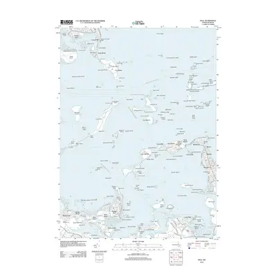
2012 Map of Hull
USGS Topo · Published 2012About this map
Fort Warren on Georges Island and Fort Andrews on Peddocks Island stand as sentinels over the approaches to the harbor, anchoring a landscape defined by coastal defense and maritime commerce. This survey details the intricate network of channels and ledges that guide vessels through President Roads and Nantasket Roads. The coastline is dotted with navigation aids such as the Boston Lighthouse and Bug Light, alongside the industrial legacy of the Hingham Shipyard in Broad Cove. Residential development is concentrated in the established neighborhoods of Hull, including Pemberton, Allerton, and Waveland, while the mainland features the expansive grounds of Mount Wollaston Cem and the aviation infrastructure of Logan International Airport. The map captures the complex geography of the outer harbor islands, from the rocky outcrops of The Brewsters to the flats surrounding Deer Island.
Find a feature on this map
216 named features on this map. Tap any name to fly to it.
Don’t see what you’re looking for? This feature index may not catch every label — zoom into the map to look around manually.
Map Details
Editions of this 2012 Hull Map
This is the sole edition of this map. No revisions or reprints were ever made.
Other maps of this area

1885 · Abington
USGS Topo · 1:62,500

1886 · Dedham
USGS Topo · 1:62,500

1888 · Abington
USGS Topo · 1:62,500

1892 · Boston Bay
USGS Topo · 1:62,500

1893 · Abington
USGS Topo · 1:62,500

1893 · Boston
USGS Topo · 1:62,500

1894 · Dedham
USGS Topo · 1:62,500

1903 · Boston
USGS Topo · 1:62,500

1903 · Boston Bay
USGS Topo · 1:62,500

1919 · Dedham
USGS Topo · 1:62,500