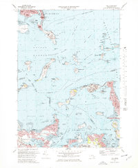
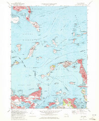
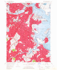
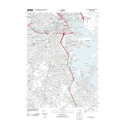
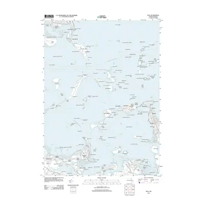
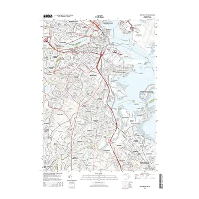
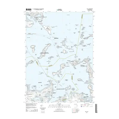
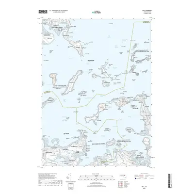
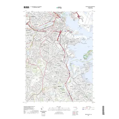
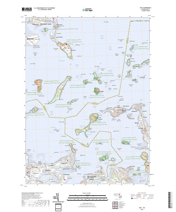
1971 Map of Hull
USGS Topo · Published 1978About this map
Winthrop and the seaside communities of the South Shore define this coastal survey, where the intricate geography of the harbor islands meets the residential expansion of the early 1970s. The landscape is heavily shaped by a legacy of coastal defense, with historic fortifications including Fort Warren on Georges Island, Fort Dawes on Deer Island, and Fort Strong on Long Island standing watch over the primary shipping channels.
Find a feature on this map
172 named features on this map. Tap any name to fly to it.
Don’t see what you’re looking for? This feature index may not catch every label — zoom into the map to look around manually.
Map Details
Editions of this 1971 Hull Map
2 editions found
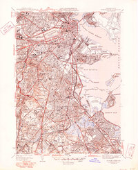
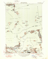
Historical Maps of Boston Through Time
25 maps found

1944 Boston South
Suffolk County, MA

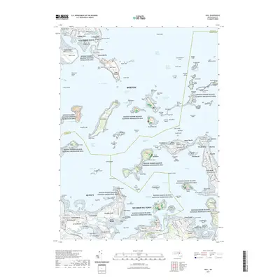
1944 Hull
Suffolk County, MA
1946 Boston South
Suffolk County, MA
1946 Hull
Suffolk County, MA

1948 Hull
Suffolk County, MA

1949 Hull
Suffolk County, MA

1954 Boston South
Suffolk County, MA
1956 Boston South
Suffolk County, MA
1958 Hull
Suffolk County, MA
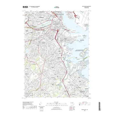
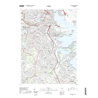
1970 Boston South
Suffolk County, MA
1971 Hull
Suffolk County, MA

1977 Boston South
Suffolk County, MA

1977 Hull
Suffolk County, MA
1987 Boston South
Suffolk County, MA
2012 Boston South
Suffolk County, MA
2012 Hull
Suffolk County, MA
2015 Boston South
Suffolk County, MA
2015 Hull
Suffolk County, MA
2018 Boston South
Suffolk County, MA
2018 Hull
Suffolk County, MA
2021 Boston South
Suffolk County, MA
2021 Hull
Suffolk County, MA
2023 Boston South
Suffolk County, MA
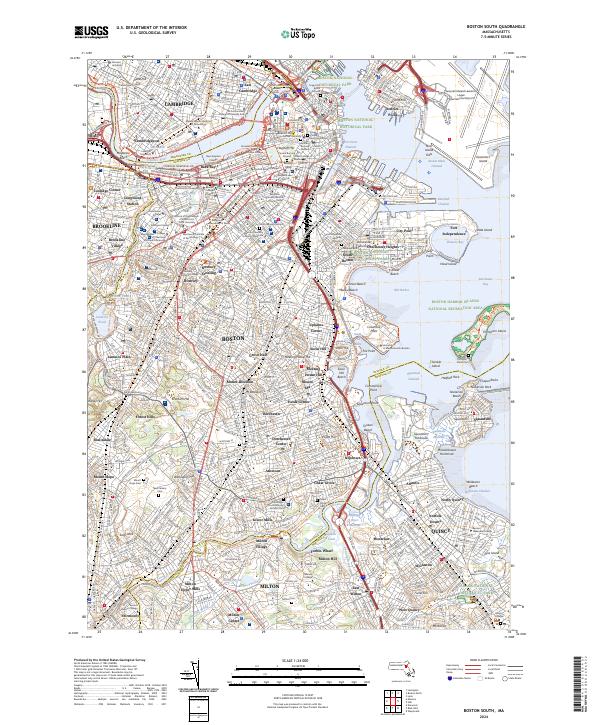
2024 Boston South
Suffolk County, MA
2024 Hull
Suffolk County, MA