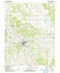
1991 Map of Humansville
USGS Topo · Published 1991About this map
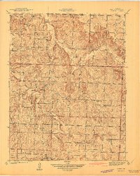
Humansville serves as the central hub of this Missouri landscape, situated at the intersection of several notable watercourses and historical transport routes. The town is flanked by the South Fork Weaubleau Creek and Brush Creek, while the presence of an Old Railroad Grade running northwest through the territory suggests the path of former rail commerce. To the east, the settlement of Flemington is clustered near the Hickory and Polk County border, while the small community of Rondo sits further south.
Find a feature on this map
27 named features on this map. Tap any name to fly to it.
Don’t see what you’re looking for? This feature index may not catch every label — zoom into the map to look around manually.
Map Details
Editions of this 1991 Humansville Map
This is the sole edition of this map. No revisions or reprints were ever made.
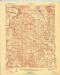
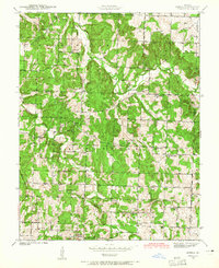
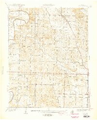
Other maps of this area

1884 · Bolivar
USGS Topo · 1:125,000

1886 · Stockton
USGS Topo · 1:125,000

1892 · Bolivar
USGS Topo · 1:125,000
1938 · Vista
USGS Topo · 1:24,000
1939 · Arnica
USGS Topo · 1:24,000
1940 · Vista
USGS Topo · 1:24,000

1940 · Weaubleau
USGS Topo · 1:24,000
1941 · Arnica
USGS Topo · 1:24,000

1942 · Elkton
USGS Topo · 1:24,000

1944 · Humansville
USGS Topo · 1:24,000